Dolní Krupá (Havlíčkův Brod District)
Dolní Krupá (Czech pronunciation: [ˈdolɲiː ˈkrupaː], German: Unter Kraupen) is a village and municipality (obec) in Havlíčkův Brod District in the Vysočina Region of the Czech Republic.
Dolní Krupá | |
|---|---|
Municipality | |
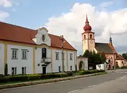 Chateau and the Church of Saint Vitus | |
.svg.png.webp) Flag .svg.png.webp) Coat of arms | |
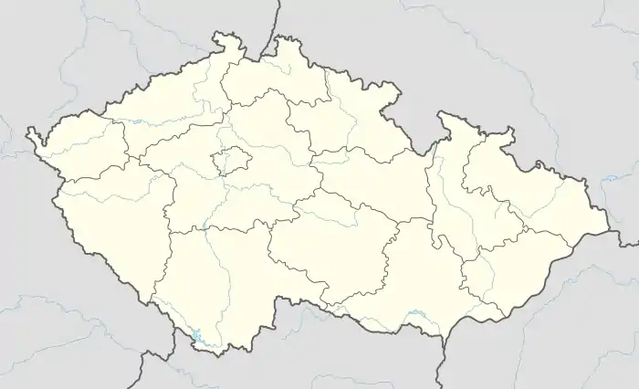  Dolní Krupá | |
| Coordinates: 49°39′48″N 15°36′42″E | |
| Country |  Czech Republic Czech Republic |
| Region | Vysočina |
| District | Havlíčkův Brod |
| Area | |
| • Total | 7.91 km2 (3.05 sq mi) |
| Elevation | 471 m (1,545 ft) |
| Population (2006) | |
| • Total | 406 |
| • Density | 51/km2 (130/sq mi) |
| Postal code | 580 01 to 582 71 |
| Website | http://www.dolnikrupa.cz |
The municipality covers an area of 7.91 square kilometres (3.05 sq mi), and has a population of 406 (as at 28 August 2006).
Dolní Krupá lies approximately 7 kilometres (4 mi) north of Havlíčkův Brod, 30 km (19 mi) north of Jihlava, and 98 km (61 mi) south-east of Prague.
References
 |
Wikimedia Commons has media related to Dolní Krupá (Havlíčkův Brod District). |
Authority control: National libraries  |
|---|
This article is issued from Wikipedia. The text is licensed under Creative Commons - Attribution - Sharealike. Additional terms may apply for the media files.