Dorseyville, Louisiana
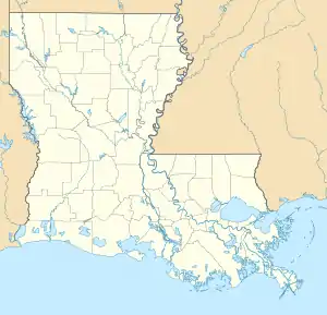
Dorseyville is a census-designated place (CDP) in Iberville Parish, Louisiana, United States, corresponding to the unincorporated community of Dorcyville[3] or Dorseyville. It is in the southeastern part of the parish, on the southwest bank of the Mississippi River. Louisiana Highway 1 forms the southern edge of the community, leading southeast 1 mile (1.6 km) to White Castle and northwest 9 miles (14 km) to Plaquemine.
Dorseyville, Louisiana | |
|---|---|
  Dorseyville  Dorseyville | |
| Coordinates: 30°10′36″N 91°9′43″W | |
| Country |  United States United States |
| State | Louisiana |
| Parish | Iberville |
| Area | |
| • Total | 0.39 km2 (0.15 sq mi) |
| • Land | 0.39 km2 (0.15 sq mi) |
| • Water | 0.0 km2 (0.0 sq mi) |
| Elevation | 6 m (19 ft) |
| Time zone | UTC-6 (Central (CST)) |
| • Summer (DST) | UTC-5 (CDT) |
| ZIP Code | 70788 (White Castle) |
| Area code(s) | 225 |
| FIPS code | 22-21388 |
| GNIS feature ID | 2804547[2] |
Dorseyville was first listed as a CDP prior to the 2020 census.[2]
References
- "2020 U.S. Gazetteer Files – Louisiana". United States Census Bureau. Retrieved May 13, 2021.
- "Dorseyville Census Designated Place". Geographic Names Information System. United States Geological Survey.
- "Dorcyville". Geographic Names Information System. United States Geological Survey.
Municipalities and communities of Iberville Parish, Louisiana, United States | ||
|---|---|---|
| Cities | 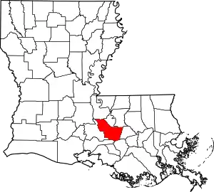 | |
| Towns | ||
| Villages | ||
| CDPs | ||
| Other communities | ||
| Ghost towns | ||
| ||
This article is issued from Wikipedia. The text is licensed under Creative Commons - Attribution - Sharealike. Additional terms may apply for the media files.