Doty, Washington
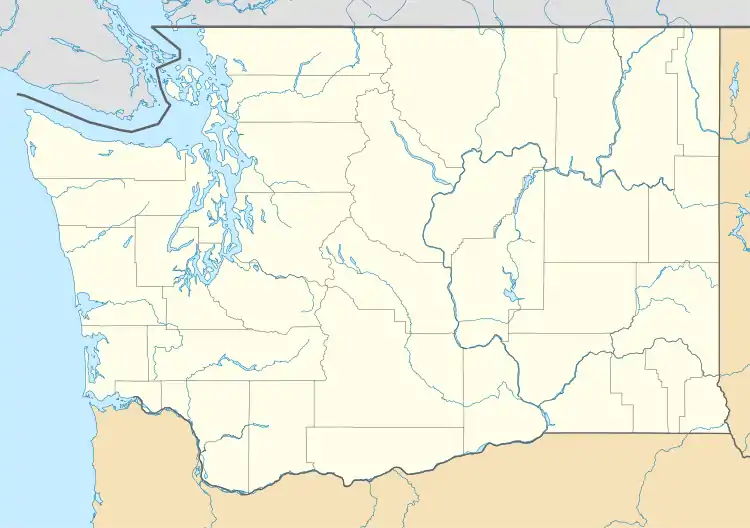
Doty, Washington is an unincorporated community located 1.3-miles directly west of Dryad and north of Pe Ell on Washington State Route 6.[1]
Doty, Washington | |
|---|---|
  Doty  Doty | |
| Coordinates: 46°38′04″N 123°16′40″W | |
| Country | United States |
| State | Washington |
| County | Lewis |
| Elevation | [1]312 ft (95 m) |
| Population | |
| • Total | approx. 250 |
| Time zone | UTC-8 (Pacific (PST)) |
| • Summer (DST) | UTC-7 (PDT) |
| zip code | 98539 |
| Area code(s) | 360 |
Chauncey A. Doty built a sawmill here around 1900, and the community that sprang up around it was named after him.[2][3] Doty once boasted the largest sawmill in Lewis County.[4] Today, about 250 people reside in or around Doty, which boasts a general store, post office, fire department, and two churches. Logging and farming are the industries that most of the residents rely on for income.
Parks and recreation
Many residents in Doty participate in the annual River Run, which consists of entrants buying or building water crafts and floating down the Chehalis River from Pe Ell to Rainbow Falls State Park, where riders can float over a slight waterfall that still remains despite severe flooding damage due to the Great Coastal Gale of 2007.
The Willapa Hills Trail passes thru the area.[5]
Climate
This region experiences warm (but not hot) and dry summers, with no average monthly temperatures above 71.6 °F. According to the Köppen Climate Classification system, Doty has a warm-summer Mediterranean climate, abbreviated "Csb" on climate maps.[6]
References
- "Doty". Geographic Names Information System. United States Geological Survey.
- Meany, Edmond S. (1923). Origin of Washington geographic names. Seattle: University of Washington Press. p. 71.
- "Lewis County - Doty". jtenlen.drizzlehosting.com. Lewis Co., WA GenWeb Project.
- Experience WA: Doty
- "Willapa Hills State Park Trail". parks.state.wa.us. Washington State Parks.
- Climate Summary for Doty, Washington
Municipalities and communities of Lewis County, Washington, United States | ||
|---|---|---|
| Cities |  Map of Washington highlighting Lewis County | |
| Town | ||
| CDPs | ||
| Other communities | ||
| Ghost towns | ||
| Indian reservation | ||
| Footnotes | ‡This populated place also has portions in an adjacent county or counties | |
| ||