Drugmulla
Drugmulla is a small town and tehsil headquarter in Kupwara district in the Indian union territory of Jammu and Kashmir. Drugmulla is the tehsil headquarters of Drugmulla tehsil and is located 5 kilometres from the district headquarters Kupwara.
Drugmulla
Drugmul | |
|---|---|
Town | |
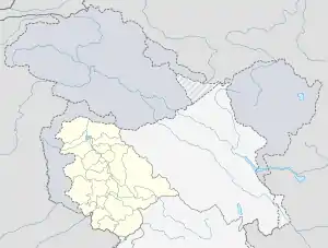  Drugmulla Location in Jammu and Kashmir 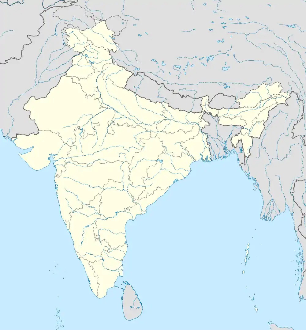 Drugmulla Drugmulla (India) | |
| Coordinates: 34.506°N 74.253°E[1] | |
| Country |  India India |
| Union Territory |  Jammu and Kashmir Jammu and Kashmir |
| District | Kupwara |
| Tehsil | Drugmulla[2] |
| Population (2011) | |
| • Total | 12,930[3] |
| Languages | |
| • Official | Kashmiri, Urdu, Dogri, Hindi, English |
| • Spoken | Kashmiri, Urdu |
| Time zone | UTC+5:30 (IST) |
| PIN | 193222 |
| Vehicle registration | JK-09 |
| Website | kupwara |
Climate
| Climate data for Drugmulla (1981–2010, extremes 1977–2012) | |||||||||||||
|---|---|---|---|---|---|---|---|---|---|---|---|---|---|
| Month | Jan | Feb | Mar | Apr | May | Jun | Jul | Aug | Sep | Oct | Nov | Dec | Year |
| Record high °C (°F) | 16.2 (61.2) |
19.7 (67.5) |
27.3 (81.1) |
31.7 (89.1) |
34.8 (94.6) |
36.9 (98.4) |
37.6 (99.7) |
36.6 (97.9) |
35.8 (96.4) |
33.6 (92.5) |
25.7 (78.3) |
18.4 (65.1) |
37.6 (99.7) |
| Average high °C (°F) | 6.4 (43.5) |
8.6 (47.5) |
13.2 (55.8) |
20.6 (69.1) |
24.6 (76.3) |
28.6 (83.5) |
30.1 (86.2) |
30.2 (86.4) |
28.7 (83.7) |
23.2 (73.8) |
16.0 (60.8) |
9.1 (48.4) |
20.1 (68.2) |
| Average low °C (°F) | −2.8 (27.0) |
−1.2 (29.8) |
2.1 (35.8) |
6.5 (43.7) |
9.7 (49.5) |
13.1 (55.6) |
16.9 (62.4) |
16.2 (61.2) |
10.9 (51.6) |
5.1 (41.2) |
0.9 (33.6) |
−1.8 (28.8) |
6.5 (43.7) |
| Record low °C (°F) | −15.7 (3.7) |
−12.0 (10.4) |
−7.0 (19.4) |
0.1 (32.2) |
0.6 (33.1) |
6.5 (43.7) |
9.0 (48.2) |
8.0 (46.4) |
4.0 (39.2) |
−1.5 (29.3) |
−5.5 (22.1) |
−9.4 (15.1) |
−15.7 (3.7) |
| Average rainfall mm (inches) | 87.1 (3.43) |
126.8 (4.99) |
240.7 (9.48) |
156.5 (6.16) |
102.7 (4.04) |
59.1 (2.33) |
87.4 (3.44) |
74.9 (2.95) |
31.7 (1.25) |
49.6 (1.95) |
52.0 (2.05) |
67.9 (2.67) |
1,136.5 (44.74) |
| Average rainy days | 7.8 | 8.9 | 12.4 | 9.7 | 8.6 | 4.7 | 6.3 | 5.4 | 2.6 | 3.7 | — | — | — |
| Average relative humidity (%) | — | — | — | — | — | — | — | — | — | — | 65 | 73 | 64 |
| Source: India Meteorological Department[4][5] | |||||||||||||
Demographics
According to the 2011 census of India, Drugmulla had 736 households.[3] The literacy rate of Drugmulla town is 71.51%. The male literacy stands at 82.73% while the female literacy rate was 54.73%.
| Total | Male | Female | |
|---|---|---|---|
| Population | 12930 | 7665 | 5265 |
| Children aged below 6 years | 2394 | 1353 | 1041 |
| Scheduled caste | 8 | 8 | 0 |
| Scheduled tribe | 724 | 368 | 356 |
| Literacy | 71.51% | 82.73% | 54.73% |
| Workers (all) | 4025 | 3729 | 296 |
| Main workers (all) | 2841 | 2691 | 150 |
| Marginal workers (total) | 1184 | 1038 | 146 |
Education
Some of the institutions of Drugmulla Village which provide quality education to the students of Drugmulla and other areas of the district:
- UPS Bandpora Drugmulla
- Iqbal Memorial Dugmulla
- Imperial Drugmulla
- Alfayaz Public School
- IDPS Drugmula, Kupwara
- Almisba public school.
Article creator
All the details in this article are Government verified. And created by zaid wani.
Transportation
Air
Drugmulla doesn't have its own airport. The nearest airport is Srinagar International Airport, 88 kilometres or a two and a half an hour drive away. [6]
Rail
Drugmulla doesn't have railway connectivity yet. The nearest railway stations are Baramulla railway station and Sopore railway station, located 42 and 50 kilometres from Drugmulla respectively. There are plans to connect Drugmulla by rail by extending the Jammu–Baramulla line to Kupwara which will pass through Drugmulla.[7]
Road
Drugmulla is well-connected by road to other towns and villages in Jammu and Kashmir and the rest of India by the Sopore-Kupwara Road and Drugmulla-Kupwara Road. The NH 701 passes through Drugmulla.
References
- "Drugmulla (Google Maps)". Google Maps. Retrieved 12 July 2021.
- "Villages in Kupwara district". Kupwara district website. Retrieved 12 July 2021.
- "Drugmulla Town Population" (PDF). Census India. Retrieved 12 July 2021.
- "Station: Kupwara Climatological Table 1981–2010" (PDF). Climatological Normals 1981–2010. India Meteorological Department. January 2015. pp. 441–442. Archived from the original (PDF) on 5 February 2020. Retrieved 24 March 2020.
- "Extremes of Temperature & Rainfall for Indian Stations (Up to 2012)" (PDF). India Meteorological Department. December 2016. p. M77. Archived from the original (PDF) on 5 February 2020. Retrieved 24 March 2020.
- https://www.aai.aero/en/airports/srinagar
- "J&K gets ₹3,848-cr Baramulla-Kupwara railroad project". NBMCW. Retrieved 12 July 2021.
External links
- "Drugmulla: Latest News & Videos, Photos about Drugmulla | The Economic Times - Page 1". The Economic Times.
- "Drugmulla Pin Code | Postal Code (Zip Code) of Drugmulla, Kupwara, Jammu & Kashmir, India". www.indiatvnews.com.
- "Drugmulla | District Kupwara,Government of Jammu & Kashmir | India".