Gouldtown, New Jersey
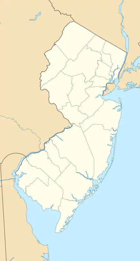
Gouldtown is an unincorporated community and census-designated place (CDP) in Cumberland County, New Jersey, United States. It is in the northwestern part of the county, in the northeast part of Fairfield Township, and it is bordered to the west by the city of Bridgeton, the county seat. New Jersey Route 49 runs through the community, leading east 8 miles (13 km) to Millville and west through Bridgeton 19 miles (31 km) to Salem.
Gouldtown, New Jersey | |
|---|---|
  Gouldtown  Gouldtown | |
| Coordinates: 39°24′44″N 75°11′15″W | |
| Country | United States |
| State | New Jersey |
| County | Cumberland |
| Township | Fairfield |
| Area | |
| • Total | 2.83 sq mi (7.32 km2) |
| • Land | 2.83 sq mi (7.32 km2) |
| • Water | 0.0 sq mi (0.0 km2) |
| Elevation | 76 ft (23 m) |
| Time zone | UTC-5 (Eastern (EST)) |
| • Summer (DST) | UTC-4 (EDT) |
| ZIP Code | 08302 (Bridgeton) |
| Area code(s) | 856 |
| FIPS code | 34-27060 |
| GNIS feature ID | 2806089[2] |
Gouldtown was first listed as a CDP prior to the 2020 census.[2] Trinity African Methodist Episcopal Church, organized in 1818, current building constructed in 1860, is listed on the National Register of Historic Places.
Notable people
- Harold Gould (1924–2012), baseball pitcher with the Philadelphia Stars of the Negro National League
- Theophilus Gould Steward (1843–1924), U.S. Army chaplain, Buffalo Soldier, organizer of A.M.E. congregations in South Carolina and Georgia
References
- "2020 U.S. Gazetteer Files – New Jersey". United States Census Bureau. Retrieved June 18, 2021.
- "Gouldtown Census Designated Place". Geographic Names Information System. United States Geological Survey.
Municipalities and communities of Cumberland County, New Jersey, United States | ||
|---|---|---|
| Cities | 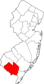 Map of New Jersey highlighting Cumberland County | |
| Borough | ||
| Townships | ||
| CDPs |
| |
| Other communities | ||
| Footnotes | ‡This populated place also has portions in an adjacent county or counties | |
| ||
This article is issued from Wikipedia. The text is licensed under Creative Commons - Attribution - Sharealike. Additional terms may apply for the media files.