Gurdaspur
Gurdaspur is a city in the state of Punjab, India, between the rivers Beas and Ravi. Through its location on the Indian side of the Punjab region, it shares a border with Pakistan. It houses the administrative headquarters of Gurdaspur District and is in the geographical centre of the district.
Gurdaspur | |
|---|---|
City | |
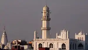 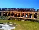 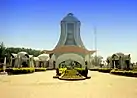 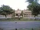 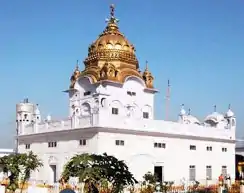 Clockwise from top: Qadian, Sujanpur Fort-Front View, Batala Dera Sahib, Mechanicad Block, Dera Baba Nanak | |
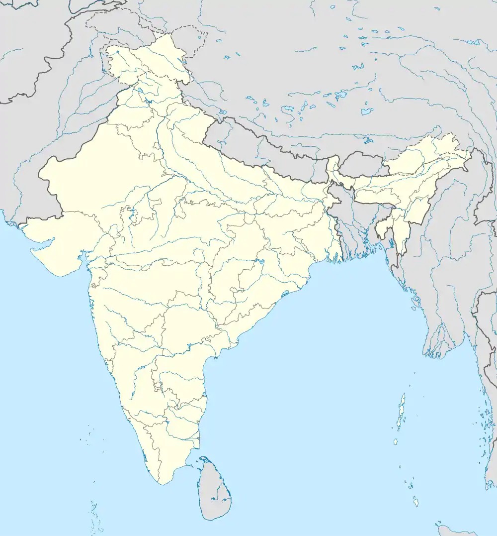  Gurdaspur 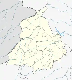 Gurdaspur | |
| Coordinates: 32.0333°N 75.40°E | |
| Country | India |
| State | Punjab |
| District | Gurdaspur |
| Region | Majha |
| Founded by | Bhai Guriya Ji |
| Government | |
| • Type | Municipality |
| • Body | Municipal Council Gurdaspur |
| • Member of the Legislative Assembly | Barindermeet Singh Pahra |
| • Member of Parliament | Sunny Deol |
| • Deputy Commissioner | Mohammad Ishfaq, IAS[1] |
| Area | |
| • City | 45 km2 (17 sq mi) |
| Area rank | 5th |
| Elevation | 241 m (791 ft) |
| Population (2015) | |
| • City | 120,564 |
| • Density | 649/km2 (1,680/sq mi) |
| • Metro | 744,092 |
| Time zone | UTC+5:30 (IST) |
| PIN | 143521 |
| Area code(s) | +91-1874-XXX XXXX |
| Vehicle registration | PB-06, PB-18, PB-58, PB-99, PB-85 |
| Website | gurdaspur |
Gurdaspur city was named after Mahant Guriya das ji.[2] The Emperor Akbar was crowned at Kalanaur, which is 26 km from the city.
Demographics
According to the 2011 India census,[4] Gurdaspur had a population of 2,299,026 (1,212,995 males and 1,086,031 females). There was a 9.30% increase in population compared to that of 2001. In the previous 2001 census of India, Gurdaspur District had recorded a 19.74% increase to its population compared to 1991. According to religion, Hindus made up 68.9% of the city's population, with Sikhs making up 24.8%.[5]
The average literacy rate of Gurdaspur in 2011 was 81.10%, compared to 73.80% in 2001. The male and female literacy rates were 85.90% and 75.70%, respectively. For the 2001 census, the rates were 79.80% and 67.10% respectively. The total literate population was 1,668,339, consisting of 928,264 males and 740,075 females. Sex ratio is about 895 females per 1000 males. Population Density was 649 per square km. [4]
Education
Gurdaspur has many elementary and secondary level schools and has 13 degree level and engineering colleges.[6] Beant College of Engineering and Technology, is among them, founded by then Chief Minister Beant Singh in 1995. A nationally accredited body by Ministry of Tourism (India) Institute of Hotel Management, Catering & Nutrition is also located in Gurdaspur.
Colleges
Administrative towns
Notable people
- Dev Anand (Film Actor)
- Mahbub ul Haq (Economist)
- Premchand Degra (Body builder)
- Vinod Khanna (Ex-MP)[7]
- Vijay Anand (Filmmaker)
- Chetan Anand (Filmmaker)
- Guru Randhawa (Singer)
- Aditya Puri (Businessman)
- Gurpreet Ghuggi (Film actor)
- Shivil Kaushik (Cricketer)
- Ranjit Bawa (Singer)
- AP Dhillon (Singer)
- Romesh Sharma (Film actor)
- Preet Harpal (Singer)
- Jasbir Jassi (Singer)
- Nimrat Khaira (Singer)
- Avtar Singh (Olympic judo player)
- Gurmeet Bawa (Singer)
- Sunny Deol (MP)
- Surjit Singh
- Sunanda Sharma (Singer)
See also
References
- "Punjab Police Amritsar". gurdaspur.nic.in. Retrieved 3 March 2020.
- "About District". Gurdaspur.nic.in. Archived from the original on 2 August 2005. Retrieved 4 March 2013.
- "Gurdaspur City Population - Gurdaspur, Punjab". Retrieved 2 December 2021.
- "Gurdaspur District Population Census 2011, Punjab literacy sex ratio and density". Census2011.co.in.
- "Gurdaspur City Population - Gurdaspur, Punjab". Censusindia2011.com. Retrieved 3 December 2021.
- "Education Facilities in District Gurdaspur". Gurdaspur.nic.in. Archived from the original on 18 May 2005. Retrieved 31 March 2013.
- http://india.gov.in/my-government/indian parliament/vinod-khanna
Further reading
- Chester, Lucy P. Borders and Conflict in South Asia: The Radcliffe Boundary Commission and the Partition of Punjab. Manchester UP, 2009.
- Chisholm, Hugh, ed. (1911). . Encyclopædia Britannica. 12 (11th ed.). Cambridge University Press.
- Official website