Harrington Place, Washington
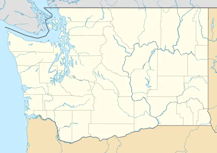
Harrington Place, also known as Herrington Place, is an unincorporated community in Cowlitz County, Washington. It is part of the Kelso School District, a K-12 school district of nearly 5,000 students.
Harrington Place | |
|---|---|
  Harrington Place Location in the state of Washington  Harrington Place Harrington Place (the United States) | |
| Coordinates: 46°13′52″N 122°26′02″W | |
| Country | United States |
| State | Washington |
| County | Cowlitz |
| Elevation | 391 m (1,283 ft) |
| Time zone | UTC−8 (PST) |
| • Summer (DST) | UTC−7 (PDT) |
| ZIP code | 98649 |
| Area code(s) | 360 |
| GNIS feature ID | 1520730 |
Harrington Place is 27.5 miles (44.3 km) northwest of Mount St. Helens. Its eruption on May 18, 1980 was the deadliest and most economically destructive volcanic event in US history.
Geography
Harrington Place is located at 46°13′52″N 122°26′02″W (46.2312195, -122.4339932).[2]
It is lies east of the city of Castle Rock along the South Fork Toutle River. It is reached by about 19 miles (31 km) of logging roads off of Washington State Route 504, also known as the Spirit Lake Memorial Highway, traveling east from Toutle.
External links
References
- "USGS—Harrington Place, Washington". Retrieved 13 June 2014.
- "2013 U.S. Gazetteer Files". census.gov. Retrieved 13 June 2014.
Municipalities and communities of Cowlitz County, Washington, United States | ||
|---|---|---|
| Cities | 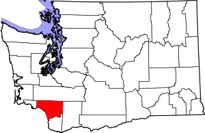 Map of Washington highlighting Cowlitz County | |
| CDPs | ||
| Other communities |
| |
| Footnotes | ‡This populated place also has portions in an adjacent county or counties | |
| ||
This article is issued from Wikipedia. The text is licensed under Creative Commons - Attribution - Sharealike. Additional terms may apply for the media files.