Hebi
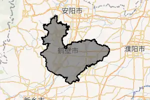
Hebi (simplified Chinese: 鹤壁; traditional Chinese: 鶴壁; pinyin: Hèbì [xɤ̂.pî]; postal: Hopi) is a prefecture-level city in northern Henan province, China. Situated in mountainous terrain at the edge of the Shanxi plateau, Hebi is about 25 miles (40 km) south of Anyang, 40 miles (64 km) northeast of Xinxiang and 65 miles (105 km) north of Kaifeng.
Hebi
鹤壁市 Hopi | |
|---|---|
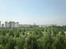 View near Hebi East railway station, 2016 | |
| |
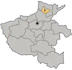 Location of Hebi in Henan | |
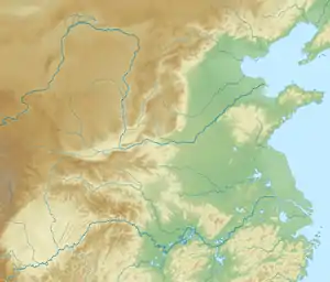  Hebi Location in the North China Plain 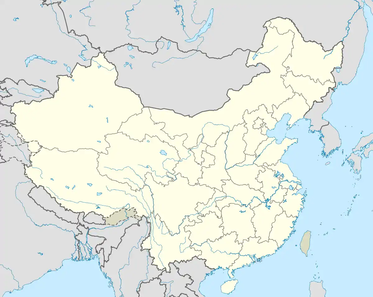 Hebi Hebi (China) | |
| Coordinates (Hebi municipal government): 35°44′53″N 114°17′49″E | |
| Country | People's Republic of China |
| Province | Henan |
| Municipal seat | Qibin District |
| Area | |
| • Prefecture-level city | 2,299 km2 (888 sq mi) |
| • Urban (2018)[1] | 543 km2 (210 sq mi) |
| • Metro | 847.3 km2 (327.1 sq mi) |
| Population (2020 census for total, 2018 otherwise)[2] | |
| • Prefecture-level city | 1,565,973 |
| • Density | 680/km2 (1,800/sq mi) |
| • Urban (2018)[1] | 667,600 |
| • Urban density | 1,200/km2 (3,200/sq mi) |
| • Metro | 574,000 |
| • Metro density | 680/km2 (1,800/sq mi) |
| Time zone | UTC+8 (China Standard) |
| Area code(s) | 392 |
| ISO 3166 code | CN-HA-06 |
| GDP | ¥10,817 per capita (2004) |
| Major Nationalities | Han |
| County-level divisions | 5 |
| Township-level divisions | unknown |
| License plate prefixes | 豫F |
| Website | hebi |
As of the 2020 census, its population was 1,565,973 inhabitants and in the 2018 estimate 574,000 lived in the built-up (or metro) area made of Qibin District and Qi County largely conurbated. One can notice that Shancheng District and Heshan District are for the moment, part of another built-up area of 372,600 inhabitants close to Anyang.[3]
Hebi has several coal mines. The city is also home to Hebi New Area, an economic development zone.
Administration
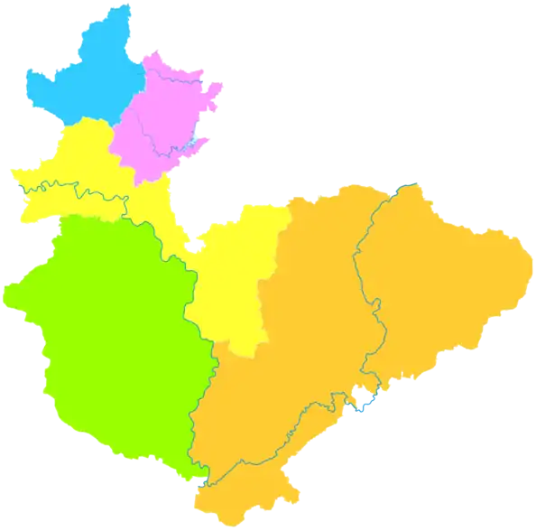
The prefecture-level city of Hebi administers 3 districts and 2 counties.
- Qibin District (淇滨区)
- Shancheng District (山城区)
- Heshan District (鹤山区)
- Xun County (浚县)
- Qi County (淇县)
| Map |
|---|
References
- Cox, Wendell (2018). Demographia World Urban Areas. 14th Annual Edition (PDF). St. Louis: Demographia. p. 22.
- "China: Hénán (Prefectures, Cities, Districts and Counties) - Population Statistics, Charts and Map".
- "China: Hénán (Prefectures, Cities, Districts and Counties) - Population Statistics, Charts and Map".
External links
- Government website of Hebi (in Simplified Chinese)



.png.webp)
Authority control  |
|---|