Hillside Colony, South Dakota
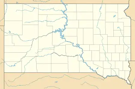
Hillside Colony is a census-designated place (CDP) and Hutterite colony[3] in Spink County, South Dakota, United States. It was first listed as a CDP prior to the 2020 census.[2]
Hillside Colony, South Dakota | |
|---|---|
  Hillside Colony  Hillside Colony | |
| Coordinates: 44°44′16″N 98°2′49″W | |
| Country | United States |
| State | South Dakota |
| County | Spink |
| Area | |
| • Total | 0.29 sq mi (0.75 km2) |
| • Land | 0.29 sq mi (0.75 km2) |
| • Water | 0.0 sq mi (0.0 km2) |
| Elevation | 1,377 ft (420 m) |
| Time zone | UTC-6 (Central (CST)) |
| • Summer (DST) | UTC-5 (CDT) |
| ZIP Code | 57436 (Doland) |
| Area code(s) | 605 |
| FIPS code | 46-29300 |
| GNIS feature ID | 2813061[2] |
It is in the southeast part of the county, bordered to the southeast by Foster Creek, a southwest-flowing tributary of the James River. It is 13 miles (21 km) by road south-southeast of Doland and 24 miles (39 km) southeast of Frankfort.
References
- "2020 U.S. Gazetteer Files – South Dakota". United States Census Bureau. Retrieved September 21, 2021.
- "Hillside Colony Census Designated Place". Geographic Names Information System. United States Geological Survey.
- Friesen, Bert (May 2021). "Hillside Hutterite Colony (Doland, South Dakota, USA)". Global Anabaptist Mennonite Encyclopedia Online. Retrieved September 20, 2021.
Municipalities and communities of Spink County, South Dakota, United States | ||
|---|---|---|
| Cities | 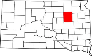 | |
| Towns | ||
| Townships |
| |
| CDPs | ||
| Other communities | ||
| Footnotes | ‡This populated place also has portions in an adjacent county or counties | |
| ||
This article is issued from Wikipedia. The text is licensed under Creative Commons - Attribution - Sharealike. Additional terms may apply for the media files.