Huron Colony, South Dakota
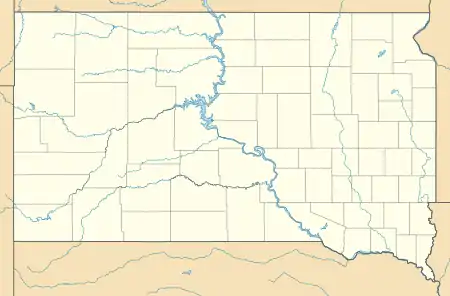
Huron Colony is a Hutterite colony[3] and census-designated place (CDP) in Beadle County, South Dakota, United States. It was first listed as a CDP prior to the 2020 census.[2]
Huron Colony, South Dakota | |
|---|---|
  Huron Colony  Huron Colony | |
| Coordinates: 44°33′52″N 98°12′23″W | |
| Country | United States |
| State | South Dakota |
| County | Beadle |
| Area | |
| • Total | 0.22 sq mi (0.58 km2) |
| • Land | 0.22 sq mi (0.58 km2) |
| • Water | 0.0 sq mi (0.0 km2) |
| Elevation | 1,268 ft (386 m) |
| Time zone | UTC-6 (Central (CST)) |
| • Summer (DST) | UTC-5 (CDT) |
| ZIP Code | 57350 (Huron) |
| Area code(s) | 605 |
| FIPS code | 46-31140 |
| GNIS feature ID | 2812993[2] |
It is in the northern part of the county, on the northeast side of the James River. It is 15 miles (24 km) north of Huron, the county seat, off South Dakota Highway 37.
References
- "2020 U.S. Gazetteer Files – South Dakota". United States Census Bureau. Retrieved September 9, 2021.
- "Huron Colony Census Designated Place". Geographic Names Information System. United States Geological Survey.
- Friesen, Bert (May 2021). "Huron Hutterite Colony (Huron, South Dakota, USA)". Global Anabaptist Mennonite Encyclopedia Online. Retrieved September 9, 2021.
Municipalities and communities of Beadle County, South Dakota, United States | ||
|---|---|---|
| Cities | 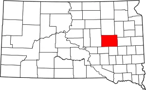 | |
| Towns | ||
| Townships |
| |
| CDPs | ||
| Other community | ||
| Footnotes | ‡This populated place also has portions in an adjacent county or counties | |
| ||
This article is issued from Wikipedia. The text is licensed under Creative Commons - Attribution - Sharealike. Additional terms may apply for the media files.