Indramayu Regency
Indramayu Regency is a regency (kabupaten) of West Java province of Indonesia. It covers an area of 2,099.42 km2, and had a population of 1,663,737 at the 2010 Census and 1,834,434 at the 2020 Census.[2] The town of Indramayu is its capital.
Indramayu Regency
Kabupaten Indramayu | |
|---|---|
| Regional transcription(s) | |
| • Sundanese | ᮊᮘᮥᮕᮒᮦᮔ᮪ ᮄᮔ᮪ᮓᮢᮙᮚᮥ |
| • Hanacaraka | ꦏꦧꦸꦥꦠꦺꦤ꧀ꦆꦤ꧀ꦢꦿꦩꦪꦸ |
 Coat of arms | |
| Motto(s): Remaja (Religius, Maju, Mandiri dan Sejahtera; Religious, Advanced, Independent, Affluent) | |
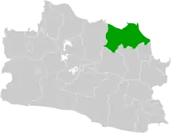 Location within West Java | |
| Coordinates: 6°19′35″S 108°19′22″E | |
| Country |  Indonesia Indonesia |
| Province | .svg.png.webp) West Java West Java |
| Government | |
| • Regent | Nina Agustina |
| • Vice Regent | Lucky Hakim |
| Area | |
| • Total | 2,099.42 km2 (810.59 sq mi) |
| Population (2020 Census) | |
| • Total | 1,834,434 |
| • Density | 870/km2 (2,300/sq mi) |
| [1] | |
| Time zone | UTC+7 (WIB) |
| Area code(s) | +62 234 |
| Website | indramayukab.go.id |
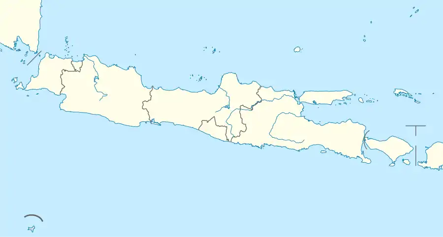

This regency is located on the northeastern corner of West Java. Its borders include:
North: Java Sea
East: Java Sea
South: Cirebon Regency and Majalengka Regency
West: Subang Regency
Southwest: Sumedang Regency.
Administrative Districts
Indramayu Regency is administratively divided into thirty-one districts (kecamatan), listed below with their areas and their populations at the 2010 Census[3] and the 2020 Census.[4]
| District (kecamatan) | Area in km2 | Pop'n 2010 Census | Pop'n 2020 Census |
|---|---|---|---|
| Haurgeulis | 64.46 | 87,832 | 91,833 |
| Gantar | 172.03 | 60,573 | 61,190 |
| Kroya | 135.55 | 60,437 | 66,012 |
| Gabuswetan | 77.44 | 53,864 | 58,297 |
| Cikedung | 113.78 | 38,580 | 41,024 |
| Terisi | 177.59 | 52,516 | 56,715 |
| Lelea | 60.83 | 46,851 | 48,671 |
| Bangodua | 47.89 | 26,950 | 30,174 |
| Tukdana | 73.76 | 49,916 | 56,966 |
| Widasari | 40.07 | 33,489 | 37,688 |
| Kertasemaya | 39.53 | 59,700 | 63,132 |
| Sukagumiwang | 33.02 | 36,805 | 36,460 |
| Krangkeng | 73.93 | 62,354 | 68,041 |
| Karangampel | 30.80 | 61,020 | 69,329 |
| Kedokanbunder | 31.70 | 43,378 | 49,020 |
| Juntinyuat | 54.14 | 76,199 | 88,307 |
| Sliyeg | 55.06 | 57,674 | 63,810 |
| Jatibarang | 43.10 | 68,575 | 76,530 |
| Balongan | 37.74 | 37,918 | 46,150 |
| Indramayu | 51.78 | 106,390 | 119,558 |
| Sindang | 34.68 | 49,186 | 55,940 |
| Cantigi | 83.32 | 22,465 | 30,776 |
| Pasekan | 76.78 | 23,362 | 28,024 |
| Lohbener | 37.95 | 53,716 | 57,699 |
| Arahan | 33.99 | 31,305 | 35,818 |
| Losarang | 111.61 | 54,872 | 54,862 |
| Kandanghaur | 85.07 | 84,433 | 93,647 |
| Bongas | 48.74 | 45,982 | 50,633 |
| Anjatan | 85.52 | 80,624 | 88,716 |
| Sukra | 44.50 | 42,976 | 48,950 |
| Patrol | 41.06 | 53,795 | 60,462 |
| Totals | 2,099.42 | 1,663,737 | 1,834,434 |
References
- Turner, Peter (1997). Java (1st ed.). Melbourne: Lonely Planet. p. 315. ISBN 0-86442-314-4.
- Badan Pusat Statistik, Jakarta, 2021.
- Badan Pusat Statistik, Jakarta, 2021.
- Biro Pusat Statistik, Jakarta, 2011.
- Badan Pusat Statistik, Jakarta, 2021.
External links

Authority control  | |
|---|---|
| General | |
| National libraries | |
| Other | |
This article is issued from Wikipedia. The text is licensed under Creative Commons - Attribution - Sharealike. Additional terms may apply for the media files.