Khwazakhela
Khwazakhela (Urdu: خوازہ خیلہ, Pashto: خوازه خېله) is a town and an administrative subdivision (Tehsil) of Swat District in the Khyber Pakhtunkhwa province of Pakistan.
Khwaza Khela Tehsil
| |
|---|---|
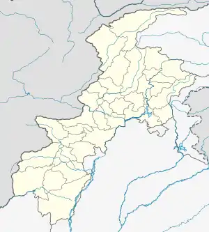  Khwaza Khela Tehsil 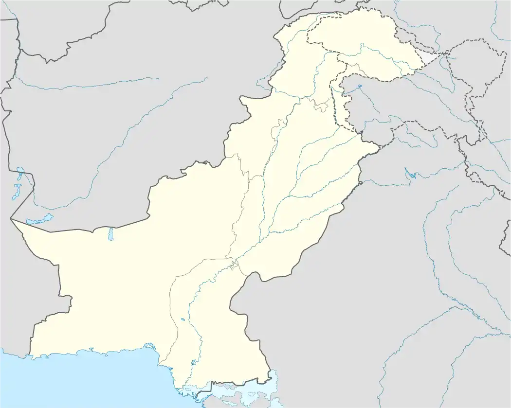 Khwaza Khela Tehsil | |
| Coordinates: 34°56′N 72°28′E | |
| Country |  Pakistan Pakistan |
| Province |  Khyber Pakhtunkhwa Khyber Pakhtunkhwa |
| District | Swat |
| Elevation | 1,151 m (3,776 ft) |
| Population | |
| • Tehsil | 265,571 |
| • Urban | 48,027 |
| • Rural | 217,544 |
| Time zone | UTC+5 (PST) |
Khwazakhela town (not Tehsil) has 16 villages called the Azikhel. People of Azikhel are from sect of Yousafzai Dynesty. The famous Pakhtoon tribes living in Khwazakhela are Khadikhel, Umaikhel and Barakhel.
Khwazakhela is famous for the graveyards of Awliya (Saints). Some of which are Mian Baba, Derai Baba, Chinar Baba and Byne Baba. Mian Baba and Byne baba were famous warriors of Syed Dynesty and Chinar Baba was from Shamakhel Dynesty.
Khwazakhela has also the previlege of being at centre of Swat. It has border with Shangla valley and is a major trade route for the people of Shangla. On the lower side it borders with Behrain Tehsil.
History:
Mahmood Ghaznavi, on his way to India, has crossed Khwazakhela many times. He has built a mosque which still exists even today by the name of Lware Jumat. In this mosque is a ground water well dug in stone.
Climate
With a mild and generally warm and temperate climate, Khwazakhela features a humid subtropical climate (Cfa) under the Köppen climate classification. The average temperature in Khwazakhela is 18.1 °C, while the annual precipitation averages 969 mm. Even in the driest months, there is a lot of precipitation. November is the driest month with 24 mm of precipitation, while July, the wettest month, has an average precipitation of 138 mm.
July is the warmest month of the year with an average temperature of 28.1 °C. The coldest month January has an average temperature of 6.4 °C.
| Climate data for Khwazakhela | |||||||||||||
|---|---|---|---|---|---|---|---|---|---|---|---|---|---|
| Month | Jan | Feb | Mar | Apr | May | Jun | Jul | Aug | Sep | Oct | Nov | Dec | Year |
| Average high °C (°F) | 11.3 (52.3) |
13.7 (56.7) |
18.4 (65.1) |
23.8 (74.8) |
29.7 (85.5) |
35.2 (95.4) |
34.6 (94.3) |
33.0 (91.4) |
31.0 (87.8) |
26.5 (79.7) |
20.5 (68.9) |
13.8 (56.8) |
24.3 (75.7) |
| Daily mean °C (°F) | 6.4 (43.5) |
8.6 (47.5) |
12.8 (55.0) |
17.7 (63.9) |
22.8 (73.0) |
27.8 (82.0) |
28.1 (82.6) |
27.0 (80.6) |
24.4 (75.9) |
19.3 (66.7) |
13.8 (56.8) |
8.5 (47.3) |
18.1 (64.6) |
| Average low °C (°F) | 1.6 (34.9) |
3.6 (38.5) |
7.2 (45.0) |
11.7 (53.1) |
16.0 (60.8) |
20.5 (68.9) |
21.6 (70.9) |
21.0 (69.8) |
17.8 (64.0) |
12.2 (54.0) |
7.1 (44.8) |
3.2 (37.8) |
12.0 (53.5) |
| Source: Climate-Data.org[2] | |||||||||||||
Administrative unites
According to Khyber Pakhtunkhwa Local Government Act 2013,[3] Tehsil Khwazakhela has following 7 Wards:[4]
References
- "DISTRICT AND TEHSIL LEVEL POPULATION SUMMARY WITH REGION BREAKUP: KHYBER PAKHTUNKHWA" (PDF). Pakistan Bureau of Statistics. 2018-01-03. Archived from the original (PDF) on 2018-04-24. Retrieved 2018-04-23.
- "Climate: Khwazakhela - Climate-Data.org". Retrieved 20 February 2017.
- http://lgkp.gov.pk/wp-content/uploads/2013/12/Local-Government-Elections-Rules-2013.pdf
- http://lgkp.gov.pk/neighbourhood-council/
External links
- Khyber-Pakhtunkhwa Government website section on Lower Dir and neighboring places
- United Nations
- Hajj 2014 Uploads
- PBS paiman.jsi.com