Kill, County Waterford
Kill (Irish: Chill), is a village in County Waterford, Ireland located between Dungarvan and Tramore,[2] on the R681 road. It lies in the townlands of Kilbarrymeaden and Sleveen. The settlement takes its name from the locality of Kilbarrymeaden, a former medieval parish. A historic ruined church from this parish lies outside present day Kill. The early ecclesiastical site of Kilbarrymeaden lies 2 km southeast of the village.[3] The pubs in the village are The Well and Dunphy's.[4]
Kill
Chill | |
|---|---|
Village | |
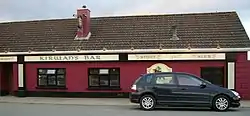 Kirwan's Bar, Kill | |
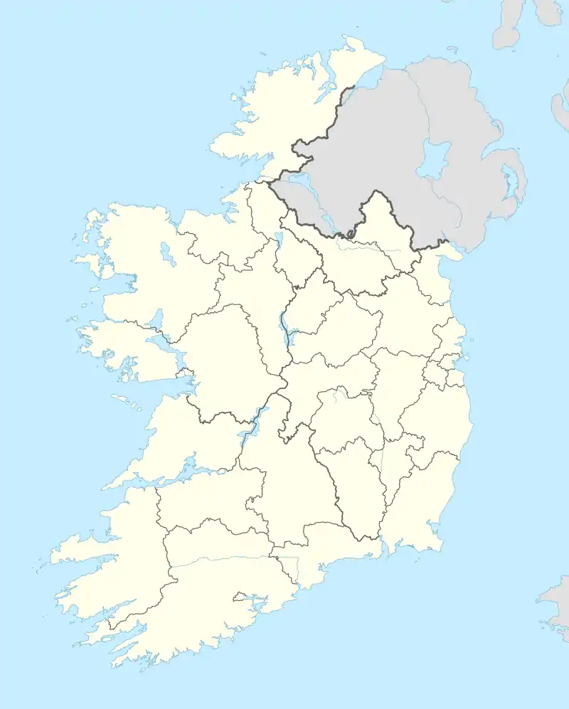  Kill Location in Ireland | |
| Coordinates: 52.176°N 7.335°W | |
| Country | Ireland |
| Province | Munster |
| County | Waterford |
| Population (2016)[1] | 271 |
| Time zone | UTC+0 (WET) |
| • Summer (DST) | UTC-1 (IST (WEST)) |
References
- "Sapmap Area: Settlements Kill". Census 2016. Central Statistics Office. 2016. Archived from the original on 14 February 2018. Retrieved 13 February 2018.
- "County Waterford Towns and Villages, their history and cultural heritage - Kill". Archived from the original on 18 July 2011. Retrieved 24 July 2010.
- "Kilbarrymeaden - Lewis's Topographical Dictionary - Waterford County - Waterford County Museum". Archived from the original on 12 April 2021. Retrieved 12 April 2021.
- "County Waterford Towns and Villages, their history and cultural heritage - Pubs". Archived from the original on 18 July 2011. Retrieved 24 July 2010.
Places in County Waterford | ||
|---|---|---|
| Towns | 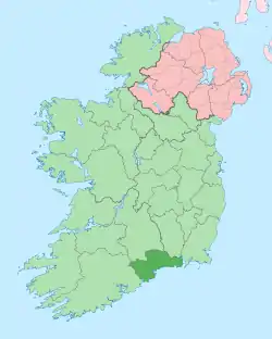 | |
| Villages and Townlands |
| |
| ||
This article is issued from Wikipedia. The text is licensed under Creative Commons - Attribution - Sharealike. Additional terms may apply for the media files.