Kingsburgh, KwaZulu-Natal
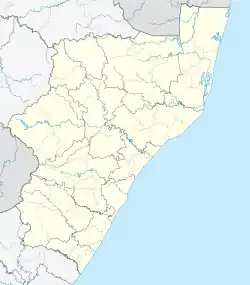
Kingsburgh is a resort town in KwaZulu-Natal, South Africa, 32 km south-west of Durban. The town is considered to be part of the KwaZulu-Natal South Coast
Kingsburgh | |
|---|---|
  Kingsburgh 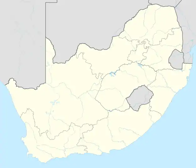 Kingsburgh | |
| Coordinates: 30°05′S 30°52′E | |
| Country | South Africa |
| Province | KwaZulu-Natal |
| Municipality | eThekwini |
| Area | |
| • Total | 11.65 km2 (4.50 sq mi) |
| Population (2011)[1] | |
| • Total | 16,368 |
| • Density | 1,400/km2 (3,600/sq mi) |
| Racial makeup (2011) | |
| • Black African | 22.7% |
| • Coloured | 1.9% |
| • Indian/Asian | 4.6% |
| • White | 70.4% |
| • Other | 0.4% |
| First languages (2011) | |
| • English | 53.4% |
| • Afrikaans | 28.1% |
| • Zulu | 15.2% |
| • Other | 3.2% |
| Time zone | UTC+2 (SAST) |
| Postal code (street) | 4126 |
History
Originally known as Southern Umlazi, it became a township in October 1942 and reached borough status in August 1952. Probably named after Richard Philip (Dick) King (1811-1871) who rode along here from Durban to Grahamstown on horseback to secure assistance for beleaguered British troops in 1842.[2]
Geography
Kingsburgh lies on the N2 highway that connects to Amanzimtoti and Durban to the north and Scottburgh and Port Shepstone to the south.
Kingsburgh comprises the seaside holiday resorts of Doonside, Illovo Beach, Karridene, St Winifred's Beach, Warner Beach and Winklespruit which lie to the east of the N2.
Kingsburgh's inner suburbs that lie on the hills above the town include Astra Park, Doonheights, Illovo Glen, Shulton Park and St Winifreds which lie west of the N2.
References
- "Main Place Kingsburgh". Census 2011.
- Raper, Peter E. (1987). Dictionary of Southern African Place Names. Internet Archive. p. 248. Retrieved 28 August 2013.
.svg.png.webp)
Authority control  | |
|---|---|
| General | |
| National libraries | |