La Marolle-en-Sologne
La Marolle-en-Sologne (French pronunciation: [la maʁɔl ɑ̃ sɔlɔɲ], literally La Marolle in Sologne), commonly known as La Marolle, is a town and commune in the Loir-et-Cher department in the administrative region of Centre-Val de Loire, France.
La Marolle-en-Sologne | |
|---|---|
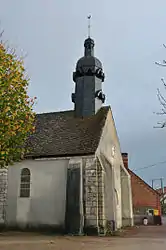 Church of Saint-Pierre | |
Location of La Marolle-en-Sologne 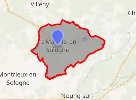
| |
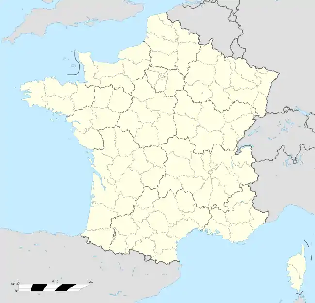  La Marolle-en-Sologne 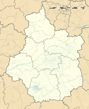 La Marolle-en-Sologne | |
| Coordinates: 47°35′06″N 1°46′48″E | |
| Country | France |
| Region | Centre-Val de Loire |
| Department | Loir-et-Cher |
| Arrondissement | Romorantin-Lanthenay |
| Canton | Chambord |
| Intercommunality | La Sologne des étangs |
| Government | |
| • Mayor (2020–2026) | Éric Fassot[1] |
| Area 1 | 25.24 km2 (9.75 sq mi) |
| Population | 340 |
| • Density | 13/km2 (35/sq mi) |
| Time zone | UTC+01:00 (CET) |
| • Summer (DST) | UTC+02:00 (CEST) |
| INSEE/Postal code | 41127 /41210 |
| Elevation | 97–136 m (318–446 ft) (avg. 117 m or 384 ft) |
| 1 French Land Register data, which excludes lakes, ponds, glaciers > 1 km2 (0.386 sq mi or 247 acres) and river estuaries. | |
The town is located in the natural region of Sologne.
Population
| Year | Pop. | ±% |
|---|---|---|
| 1793 | 267 | — |
| 1806 | 258 | −3.4% |
| 1821 | 270 | +4.7% |
| 1831 | 285 | +5.6% |
| 1841 | 310 | +8.8% |
| 1851 | 302 | −2.6% |
| 1861 | 307 | +1.7% |
| 1872 | 390 | +27.0% |
| 1881 | 436 | +11.8% |
| 1891 | 484 | +11.0% |
| 1901 | 469 | −3.1% |
| 1911 | 556 | +18.6% |
| 1921 | 520 | −6.5% |
| 1931 | 500 | −3.8% |
| 1946 | 470 | −6.0% |
| 1954 | 480 | +2.1% |
| 1962 | 481 | +0.2% |
| 1968 | 460 | −4.4% |
| 1975 | 429 | −6.7% |
| 1982 | 428 | −0.2% |
| 1990 | 439 | +2.6% |
| 1999 | 355 | −19.1% |
| 2007 | 384 | +8.2% |
| 2014 | 410 | +6.8% |
References
- "Répertoire national des élus: les maires". data.gouv.fr, Plateforme ouverte des données publiques françaises (in French). 2 December 2020.
- "Populations légales 2018". The National Institute of Statistics and Economic Studies. 28 December 2020.
 |
Wikimedia Commons has media related to La Marolle-en-Sologne. |

This article is issued from Wikipedia. The text is licensed under Creative Commons - Attribution - Sharealike. Additional terms may apply for the media files.