Louisa Reef
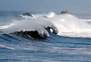
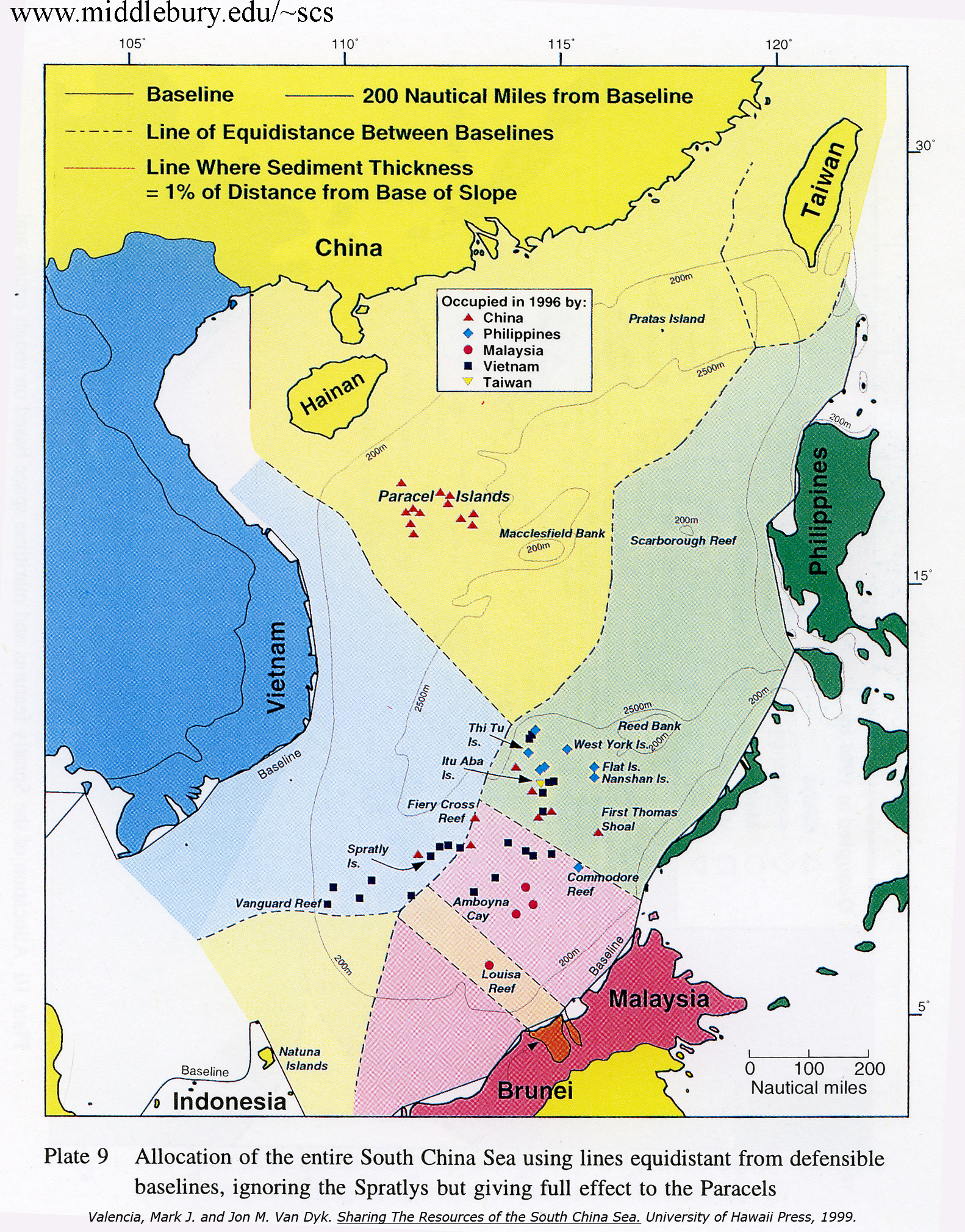
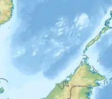
Louisa Reef (Brunei Malay: Terumbu Semarang Barat Kecil; Mandarin Chinese: 南通礁; pinyin: Nántōng Jiāo) is a coral atoll in the southern reaches of the Spratly Islands. The reef is oval in shape, approximately 1.5 km east to west and 0.5 km north to south. While most of Louisa Reef is submerged, some portions emerge at low tide and a few small rocks remain above water even at high tide. The atoll rises as deeply undercut walls and steep slopes from very deep water with extensive stony and soft corals. A navigation beacon built by Malaysia is at its southwest point and the highest visible rock is at the southeast end.
| Disputed island Other names: Terumbu Semarang Barat Kecil (Malay) 南通礁 Nántōng Jiāo (Chinese) | |
|---|---|
| Geography | |
  | |
| Location | South China Sea |
| Coordinates | 6°20′7″N 113°16′47″E |
| Archipelago | Spratly Islands |
| Claimed by | |
| People's Republic of China | |
| City | Sansha, Hainan |
| Republic of China (Taiwan) | |
| Municipality | Cijin, Kaohsiung |
| Brunei | |
| EEZ | Brunei zone |
_(cropped).jpg.webp)
Safe anchorage is difficult to find, depending on the wind and currents, but there are sandy areas at the northwest and southwest ends. The nearest reliable shelter for boats is the lagoon at Swallow Reef, 128 km to the northeast.
Malaysia previously operated a small obelisk-like concrete navigational light beacon there. Despite being unoccupied, the reef is still consider to be control by Malaysia. Serveral fishing group from Miri, Sarawak have pass by the reef.
References
External links
| Confrontations | |||||||||||
|---|---|---|---|---|---|---|---|---|---|---|---|
| Regions | |||||||||||
| Occupied features |
| ||||||||||
| Unoccupied features | |||||||||||
| Related articles | |||||||||||


| Pratas Island |
| ||||||||||||||||
|---|---|---|---|---|---|---|---|---|---|---|---|---|---|---|---|---|---|
| Paracel Islands |
| ||||||||||||||||
| NorthEast SCS | |||||||||||||||||
| Spratly Islands |
| ||||||||||||||||
| Southern SCS | |||||||||||||||||
| Tudjuh Archipelago | |||||||||||||||||
| History |
| ||||||||||||||||
| Transport |
| ||||||||||||||||
| |||||||||||||||||