Lovča, Slovakia
Lovča is a village and municipality in Žiar nad Hronom District in the Banská Bystrica Region of central Slovakia.
Lovča | |
|---|---|
Village | |
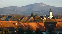 Roman Catholic Church of Saint Philip and Saint James the Less | |
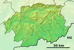  Lovča Location of Lovča in the Banská Bystrica Region 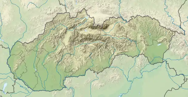 Lovča Lovča (Slovakia) | |
| Coordinates: 48°34′22″N 18°48′55″E | |
| Country | Slovakia |
| Region | Banská Bystrica |
| District | Žiar nad Hronom |
| First mentioned | 1075 |
| Government | |
| • Starosta | Ondrej Bahno (SMER-SD) |
| Area | |
| • Total | 10.44 km2 (4.03 sq mi) |
| Elevation | 242 m (794 ft) |
| Population (31 December 2020[1]) | |
| • Total | 690 |
| • Density | 66/km2 (170/sq mi) |
| Population by ethnicity (2011) | |
| • Slovaks | 93.4% |
| • Others | 0.6% |
| • Unreported | 6% |
| Population by religion (2011) | |
| • Roman Catholic | 87.8% |
| • Others | 1.1% |
| • Non-religious | 4.3% |
| • Unreported | 6.8% |
| Time zone | UTC+1 (CET) |
| • Summer (DST) | UTC+2 (CEST) |
| Postal code | 966 01 |
| Area code(s) | +421-45 |
| Car plate | ZH |
| Expressway | R1 |
| Distance from Bratislava | 170 km (110 mi) West |
| Website | www.ziar.sk |
References
- "DATAcube". datacube.statistics.sk. Retrieved 2021-08-04.
- SODB - Lovča, 2011
- SODB - Lovča, 2011
External links
Authority control  |
|---|
This article is issued from Wikipedia. The text is licensed under Creative Commons - Attribution - Sharealike. Additional terms may apply for the media files.