Millburne, Wyoming
Millburne is an unincorporated community along the Blacks Fork river in central Uinta County, Wyoming, United States.[1][2]
Millburne, Wyoming | |
|---|---|
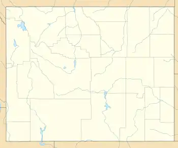  Millburne, Wyoming Location within the state of Wyoming  Millburne, Wyoming Location within the United States | |
| Coordinates: 41°15′30″N 110°24′46″W | |
| Country | United States |
| State | Wyoming |
| County | Uinta |
| Elevation | 6,966 ft (2,123 m) |
| Time zone | UTC-7 (Mountain (MST)) |
| • Summer (DST) | UTC-6 (MDT) |
| ZIP codes | 82993 |
| Area code(s) | 307 |
| GNIS feature ID | 1597408[1] |
Description
The community is located just northeast of the northeastern edge of Nebraska Flat[2] at the west end of Wyoming Highway 411, which heads east for about 4 miles (6.4 km) to end at the town of Mountain View. The roadway continues south from Millburne as Uinta County Road 260.[3] The Blacks Fork River Lodge is located in Millburne.[4]
Transportation
 Highway 411 (Millburne Road)
References
- U.S. Geological Survey Geographic Names Information System: Millburne
- "MyTopo Maps - Millburne, Fort Bridge, Uinta, Wyoming, United States" (Map). mytopo.com. Trimble Navigation, Ltd. Retrieved September 20, 2021.
- Google (September 20, 2021). "Millburne, Wyoming 84993" (Map). Google Maps. Google. Retrieved September 20, 2021.
- "Blacks Fork River Lodge". blacksforkriverlodge.com. Midway, Utah: Utah Family Lodges. Retrieved December 10, 2021.
Municipalities and communities of Uinta County, Wyoming, United States | ||
|---|---|---|
| City | 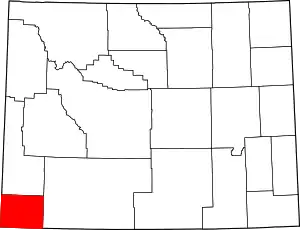 | |
| Towns | ||
| CDPs | ||
| Other communities | ||
| Ghost towns | ||
| ||
This article is issued from Wikipedia. The text is licensed under Creative Commons - Attribution - Sharealike. Additional terms may apply for the media files.