Montchauvet, Yvelines
Montchauvet (French pronunciation: [mɔ̃ʃovɛ] ( listen)) is a commune in the Yvelines department in the Île-de-France region in north-central France.
Montchauvet | |
|---|---|
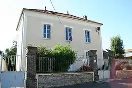 Town hall | |
 Coat of arms | |
Location of Montchauvet 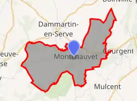
| |
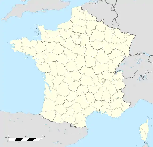  Montchauvet 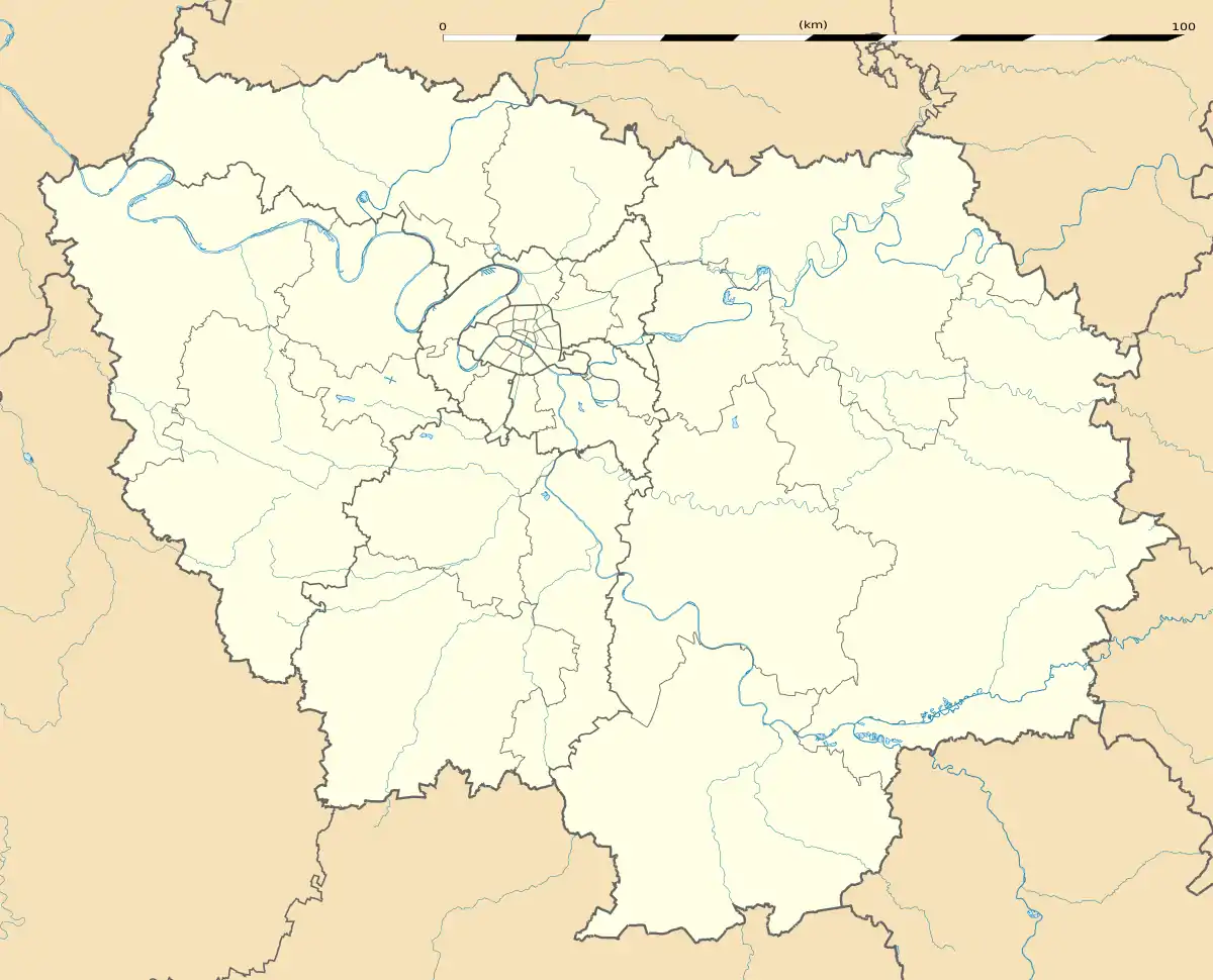 Montchauvet | |
| Coordinates: 48°53′32″N 1°37′50″E | |
| Country | France |
| Region | Île-de-France |
| Department | Yvelines |
| Arrondissement | Mantes-la-Jolie |
| Canton | Bonnières-sur-Seine |
| Intercommunality | Pays houdanais |
| Government | |
| • Mayor (2020–2026) | Georges Duval[1] |
| Area 1 | 7.98 km2 (3.08 sq mi) |
| Population | 291 |
| • Density | 36/km2 (94/sq mi) |
| Time zone | UTC+01:00 (CET) |
| • Summer (DST) | UTC+02:00 (CEST) |
| INSEE/Postal code | 78417 /78790 |
| Elevation | 62–131 m (203–430 ft) (avg. 81 m or 266 ft) |
| 1 French Land Register data, which excludes lakes, ponds, glaciers > 1 km2 (0.386 sq mi or 247 acres) and river estuaries. | |
River
A small river named Ru d'Ouville traverses Montchauvet, passing through four other communes to a total length of 10.2 kilometres (6.3 mi). The Ru d'Ouville is a tributary of the Vaucouleurs which in turn empties into the Seine.[3]
History
A British bomber was shot down in the area of Montchauvet on June 8, 1944. The six men of its crew rest in the local graveyard.
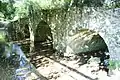 Bridge on the Ru d'Ouville
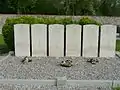 Allied pilots of World War II
See also
References
- "Répertoire national des élus: les maires". data.gouv.fr, Plateforme ouverte des données publiques françaises (in French). 2 December 2020. Retrieved 7 December 2020.
- "Populations légales 2018". The National Institute of Statistics and Economic Studies. 28 December 2020.
- Sandre. "Fiche cours d'eau - Ru d'Ouville (H3072000)".
External links
 |
Wikimedia Commons has media related to Montchauvet (Yvelines). |
- Official website (in French)


This article is issued from Wikipedia. The text is licensed under Creative Commons - Attribution - Sharealike. Additional terms may apply for the media files.