Montreuil-Bellay
Montreuil-Bellay is a commune in the Maine-et-Loire department in western France.
Montreuil-Bellay | |
|---|---|
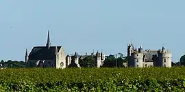 A general view of Montreuil-Bellay | |
.svg.png.webp) Coat of arms | |
Location of Montreuil-Bellay 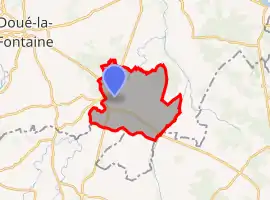
| |
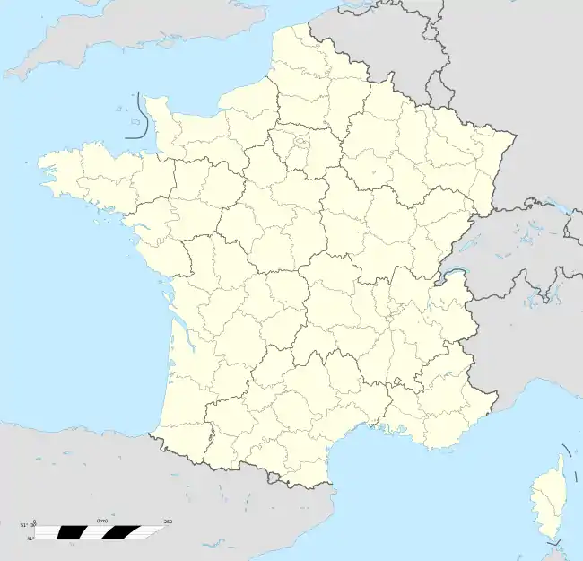  Montreuil-Bellay 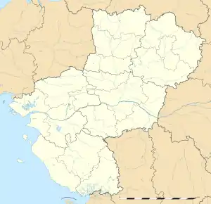 Montreuil-Bellay | |
| Coordinates: 47°07′56″N 0°09′08″W | |
| Country | France |
| Region | Pays de la Loire |
| Department | Maine-et-Loire |
| Arrondissement | Saumur |
| Canton | Doué-en-Anjou |
| Intercommunality | CA Saumur Val de Loire |
| Government | |
| • Mayor (2020–2026) | Marc Bonnin[1] |
| Area 1 | 48.96 km2 (18.90 sq mi) |
| Population | 3,740 |
| • Density | 76/km2 (200/sq mi) |
| Demonym(s) | Montreuillais, Montreuillaise |
| Time zone | UTC+01:00 (CET) |
| • Summer (DST) | UTC+02:00 (CEST) |
| INSEE/Postal code | 49215 /49260 |
| Elevation | 29–73 m (95–240 ft) (avg. 54 m or 177 ft) |
| Website | Official website |
| 1 French Land Register data, which excludes lakes, ponds, glaciers > 1 km2 (0.386 sq mi or 247 acres) and river estuaries. | |
It is located approximately 15 km to the south of Saumur, and is famous for the Château de Montreuil-Bellay, which is situated in the town.
Montreuil-Bellay is on the Thouet, and was the head of navigation until navigation ceased at the beginning of the 20th century.[3] The navigation works were undertaken in the 15th century by the lords of Montreuil-Bellay, who in turn were granted letters patent by King Charles VII allowing them to raise a tax on wine that would pass through their land.[4]
References
- "Répertoire national des élus: les maires". data.gouv.fr, Plateforme ouverte des données publiques françaises (in French). 2 December 2020.
- "Populations légales 2018". The National Institute of Statistics and Economic Studies. 28 December 2020.
- http://www.publicsenat.fr/lcp/politique/vers-une-reconnaissance-responsabilite-france-l-internement-des-tsiganes-1540911
- Bouchet, François. La Vallée du Thouet. pp. 124–128.
 |
Wikimedia Commons has media related to Montreuil-Bellay. |
Authority control  | |
|---|---|
| General | |
| National libraries | |
| Other | |
This article is issued from Wikipedia. The text is licensed under Creative Commons - Attribution - Sharealike. Additional terms may apply for the media files.