Moravský Svätý Ján
Moravský Svätý Ján is a village and municipality in Senica District in the Trnava Region of western Slovakia.
Moravský Svätý Ján | |
|---|---|
Village | |
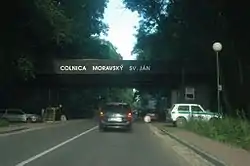 Former border crossing checkpoint west of the village | |
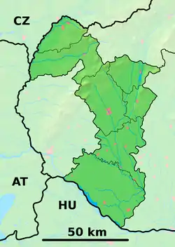  Moravský Svätý Ján Location of Moravský Svätý Ján in the Trnava Region 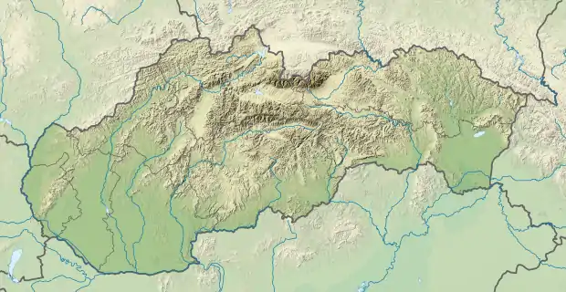 Moravský Svätý Ján Moravský Svätý Ján (Slovakia) | |
| Coordinates: 48°35′00″N 17°01′00″E | |
| Country | Slovakia |
| Region | Trnava |
| District | Senica |
| First mentioned | 1449 |
| Area | |
| • Total | 39.219 km2 (15.143 sq mi) |
| Elevation | 168 m (551 ft) |
| Population (31 December 2005) | |
| • Total | 2,076 |
| • Density | 53/km2 (140/sq mi) |
| Postal code | 908 71 |
| Area code(s) | +421-34 |
| Car plate | SE |
| Website | www.obecmsjan.sk |
| Source:[1] | |
History
In historical records the village was first mentioned in 1449. Under the names SZ.JANOS then ST.JOHANN IN UNGARN in the Austrian Empire.[2] The villages name was until 1918 Morvaszentjános.
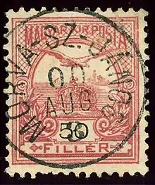
Hungarian stamp cancelled in the village in 1900
Geography
The municipality lies at an altitude of 168 metres and covers an area of 39.219 km2. It has a population of about 2074 people.
References
- Mestská a obecná štatistika SR
- Handbook of Austria and Lombardy-Venetia Cancellations on the Postage Stamp Issues 1850-1864, by Edwin MUELLER, 1961.
External links
 Media related to Moravský Svätý Ján at Wikimedia Commons
Municipalities of Senica District | ||
|---|---|---|
 | ||
Authority control  | |
|---|---|
| General | |
| National libraries | |
This article is issued from Wikipedia. The text is licensed under Creative Commons - Attribution - Sharealike. Additional terms may apply for the media files.