Neuental
Neuental is a community in the Schwalm-Eder district in Hesse, Germany.
Neuental | |
|---|---|
 Coat of arms | |
Location of Neuental within Schwalm-Eder-Kreis district 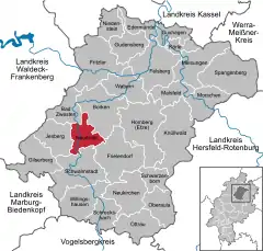 | |
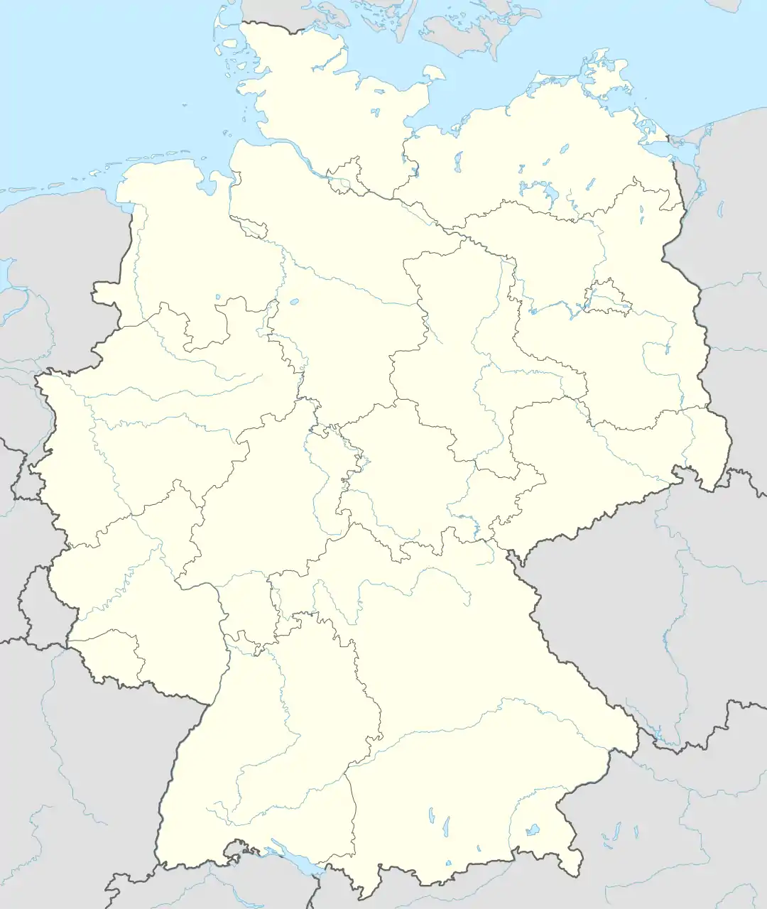  Neuental 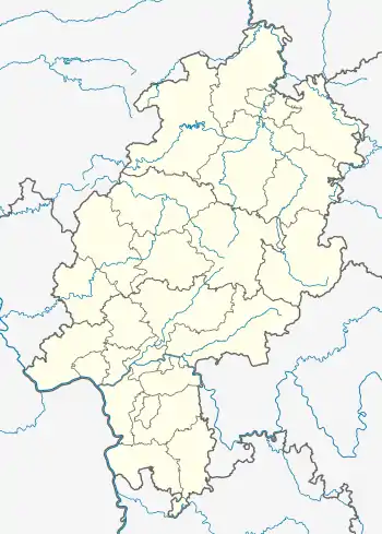 Neuental | |
| Coordinates: 51°00′N 09°13′E | |
| Country | Germany |
| State | Hesse |
| Admin. region | Kassel |
| District | Schwalm-Eder-Kreis |
| Government | |
| • Mayor (2017–23) | Dr. Philipp Rottwilm[1] |
| Area | |
| • Total | 38.65 km2 (14.92 sq mi) |
| Highest elevation | 433 m (1,421 ft) |
| Lowest elevation | 185 m (607 ft) |
| Population (2020-12-31)[2] | |
| • Total | 3,034 |
| • Density | 78/km2 (200/sq mi) |
| Time zone | UTC+01:00 (CET) |
| • Summer (DST) | UTC+02:00 (CEST) |
| Postal codes | 34599 |
| Dialling codes | 06693 |
| Vehicle registration | HR |
| Website | www.neuental.de |
Geography
Neuental lies in the Schwalm river valley between Borken and Schwalmstadt south of Kassel.
Constituent communities
The community consists of the eight centres of Bischhausen, Dorheim, Gilsa, Neuenhain, Römersberg, Schlierbach, Waltersbrück and Zimmersrode (administrative seat).
History
The community came into being as part of Hesse's municipal reforms with the amalgamation of the formerly independent communities of Bischhausen, Dorheim, Gilsa, Neuenhain, Römersberg, Schlierbach, Waltersbrück and Zimmersrode into a new greater community of Neuental.
Politics
Economy and infrastructure
References
- Direkt gewählte (Ober-) Bürgermeister/-innen der hessischen Städte und Gemeinden, accessed 7 July 2021.
- "Bevölkerung in Hessen am 31.12.2020 nach Gemeinden". Hessisches Statistisches Landesamt (in German). June 2021.
Towns and municipalities in the district of Schwalm-Eder | ||
|---|---|---|
 Schwalm-Eder district's coat of arms | ||
Authority control  | |
|---|---|
| General | |
| National libraries | |
This article is issued from Wikipedia. The text is licensed under Creative Commons - Attribution - Sharealike. Additional terms may apply for the media files.