Norwegian County Road 51
County Road 51 (Norwegian: Fylkesvei 51) is a 168.2-kilometer-long (104.5 mi) highway which runs north–south between Vågå and Gol, Norway. Part of the road runs concurrently with E16, between Leira and Fagernes. The 37-kilometer (23 mi) section across Valdresflye is designated a National Tourist Route.[1][2] This section is closed in the winter. Prior to 2010, the road was known as National Road 51 (Norwegian: Riksvei 51).
.jpg.webp) Country road 51 running across Valdresflye
Country road 51 running across Valdresflye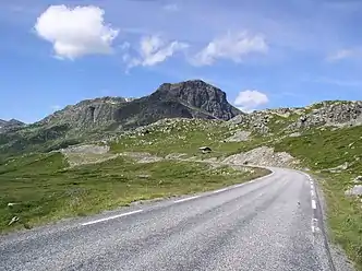 The road with Bitihorn in the background
 | |
|---|---|
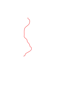 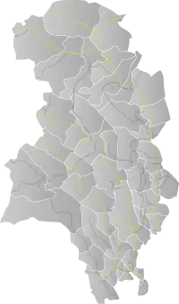 Map of the road | |
| Route information | |
| Length | 168.2 km (104.5 mi) |
| Highway system | |
| County Roads in Norway | |
References
 |
Wikimedia Commons has media related to Fylkesveg 51. |
- "Valdresflye". Norwegian Public Roads Administration. Archived from the original on 5 October 2011. Retrieved 5 October 2011.
- "Nasjonal turistveg Valdresflye" (in Norwegian). Norwegian Public Roads Administration. Archived from the original on 5 October 2011. Retrieved 5 October 2011.
|  | |
This article is issued from Wikipedia. The text is licensed under Creative Commons - Attribution - Sharealike. Additional terms may apply for the media files.