Olympia, South Carolina
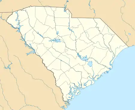
Olympia is an urban unincorporated area and census-designated place (CDP) in Richland County, South Carolina, United States. It was first listed as a CDP prior to the 2020 census.[2]
Olympia, South Carolina | |
|---|---|
  Olympia  Olympia | |
| Coordinates: 33°58′37″N 81°1′55″W | |
| Country | United States |
| State | South Carolina |
| County | Richland |
| Area | |
| • Total | 0.76 sq mi (1.97 km2) |
| • Land | 0.72 sq mi (1.86 km2) |
| • Water | 0.04 sq mi (0.10 km2) |
| Elevation | 180 ft (50 m) |
| Time zone | UTC-5 (Eastern (EST)) |
| • Summer (DST) | UTC-4 (EDT) |
| ZIP Code | 29201 (Columbia) |
| Area code(s) | 803/839 |
| FIPS code | 45-52900 |
| GNIS feature ID | 2812988[2] |
The CDP is in western Richland County, bordered to the north by the city of Columbia, the state capital, and to the west, across the Congaree River, by the city of Cayce. The eastern half of the CDP is residential, while the western half is occupied by the Columbia Quarry of Vulcan Materials.[3]
Four locations in the CDP are listed on the National Register of Historic Places. The Olympia Armory is on Granby Lane in the northeast part of the CDP, the Olympia Mill School is on Olympia Avenue in the northern part of the CDP, and the Olympia Union Hall is on Silver Street in the northernmost part of the CDP, close to the Columbia city line. Much of the northeast part of the CDP is within the Olympia Mill Village Historic District.
The Olympia Mill is within the Columbia city limits, just north of the CDP.
References
- "2020 U.S. Gazetteer Files – South Carolina". United States Census Bureau. Retrieved September 8, 2021.
- "Olympia Census Designated Place". Geographic Names Information System. United States Geological Survey.
- "540 Georgia Street". Google Street View. March 2017. Retrieved September 8, 2021.
Municipalities and communities of Richland County, South Carolina, United States | ||
|---|---|---|
| Cities |  Map of South Carolina highlighting Richland County | |
| Towns | ||
| CDPs | ||
| Other communities | ||
| Footnotes | ‡This populated place also has portions in an adjacent county or counties | |
| ||