Palota
Palota is a village and municipality in the Medzilaborce District in the Prešov Region of far north-eastern Slovakia.
Palota | |
|---|---|
Municipality | |
 | |
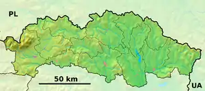  Palota Location of Palota in the Prešov Region 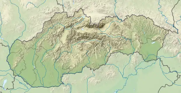 Palota Location of Palota in Slovakia | |
| Coordinates: 49°16′N 22°00′E | |
| Country |  Slovakia Slovakia |
| Region | Prešov |
| District | Medzilaborce |
| First mentioned | 1330 |
| Area | |
| • Total | 24.116 km2 (9.311 sq mi) |
| Elevation | 482 m (1,581 ft) |
| Population | |
| • Total | 190 |
| • Density | 7.9/km2 (20/sq mi) |
| Time zone | UTC+1 (CET) |
| • Summer (DST) | UTC+2 (CEST) |
| Postal code | 068 01 (pošta Medzilaborce) |
| Area code(s) | +421-57 |
| Car plate | ML |
| Website | www |
History
In historical records the village was first mentioned in 1330.
Geography
The municipality lies at an altitude of 482 metres (1,581 feet) and covers an area of 24.116 square kilometres (9.311 square miles). It has a population of about 190 people.
Gallery
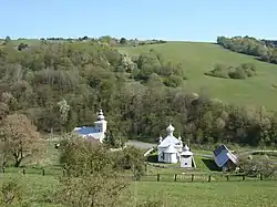
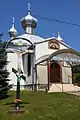 Orthodox Church of the Nativity of Our Lady in Palota
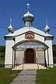 Front facade of the Orthodox Church of the Nativity of Our Lady in Palota
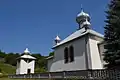 Orthodox Church of the Nativity of Our Lady and belfry in Palota
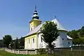 Greek Catholic Church in Palota
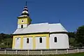 Greek Catholic Church in Palota
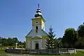 Front facade of Greek Catholic Church in Palota
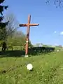 WWI military cemetery in Palota
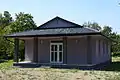 Funeral home in Palota
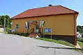 Municipal office in Palota
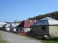 A street with newer housing in Palota
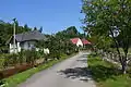 Street with local stream in Palota
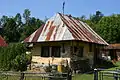 Old cottage in Palota
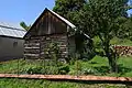 Traditional wooden barn in Palota
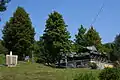 Commemorative plaque and T-34 medium tank on public display at local WWII memorial
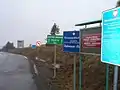 The Palota-Radoszyce foot-only border crossing between Poland and Slovakia
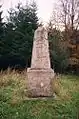 1890s boundary stone at the Palota-Radoszyce foot-only border crossing between Poland and Slovakia
External links
 Media related to Palota at Wikimedia Commons
- Official website

- http://www.statistics.sk/mosmis/eng/run.html
Municipalities of Medzilaborce District | ||
|---|---|---|
| ||
This article is issued from Wikipedia. The text is licensed under Creative Commons - Attribution - Sharealike. Additional terms may apply for the media files.