Pea Ridge, Shelby County, Alabama
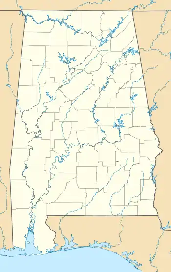
Pea Ridge is a census-designated place in Shelby County, Alabama, United States. The community is named for Pea Ridge, the broadest ridge in the Cahaba Coal Field. This ridge divides the waters of the Cahaba River and Little Cahaba River.[3] Pea Ridge has maintained a volunteer fire department since 1972.[4]
Pea Ridge, Alabama | |
|---|---|
  Pea Ridge, Alabama  Pea Ridge, Alabama | |
| Coordinates: 33°09′11″N 86°55′40″W | |
| Country | United States |
| State | Alabama |
| County | Shelby |
| Area | |
| • Total | 15.69 sq mi (40.64 km2) |
| • Land | 15.64 sq mi (40.52 km2) |
| • Water | 0.05 sq mi (0.12 km2) |
| Elevation | 830 ft (250 m) |
| Population (2020) | |
| • Total | 841 |
| • Density | 53.76/sq mi (20.76/km2) |
| Time zone | UTC-6 (Central (CST)) |
| • Summer (DST) | UTC-5 (CDT) |
| Area code(s) | 205, 659 |
| GNIS feature ID | 1989120[2] |
References
- "2020 U.S. Gazetteer Files". United States Census Bureau. Retrieved October 29, 2021.
- "Pea Ridge". Geographic Names Information System. United States Geological Survey.
- Report on the Cahaba coal field - Joseph Squire, Eugene Allen Smith. Brown Printing Company. 1890. p. 8. Retrieved 2014-05-31 – via Internet Archive.
pea ridge shelby county alabama.
- Catherine Legg (2012-02-28). "Pea Ridge celebrates its volunteer fire department". Shelby County Reporter. Retrieved 2014-05-31.
- "Census of Population and Housing". Census.gov. Retrieved June 4, 2016.
Municipalities and communities of Shelby County, Alabama, United States | ||
|---|---|---|
| Cities | 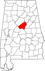 Map of Alabama highlighting Shelby County | |
| Towns | ||
| CDPs | ||
| Other unincorporated communities | ||
| Footnotes | ‡This populated place also has portions in an adjacent county or counties | |
| ||
This article is issued from Wikipedia. The text is licensed under Creative Commons - Attribution - Sharealike. Additional terms may apply for the media files.