Pelabuhanratu Bay
Palabuhanratu Bay (Indonesian: Teluk Palabuhanratu; Dutch: Wijnkoopsbaai) or Pelabuhan Ratu Sundanese for: Harbor of the Queen, is the largest bay on the coast of the Indian Ocean in the south of West Java. Palabuhanratu fishing village is the major sea port of the bay. Geographically, Pelabuhanratu Bay is located at positions 6 ° 57 'to 7 ° 07' LS and 106 ° 22 'to 106 ° 33' BT with a coastline of 105 km.[1]
| Palabuhanratu Bay | |
|---|---|
| Pelabuhan Ratu Bay Wijnkoopsbaai | |
 Pelabuhan Ratu Bay | |
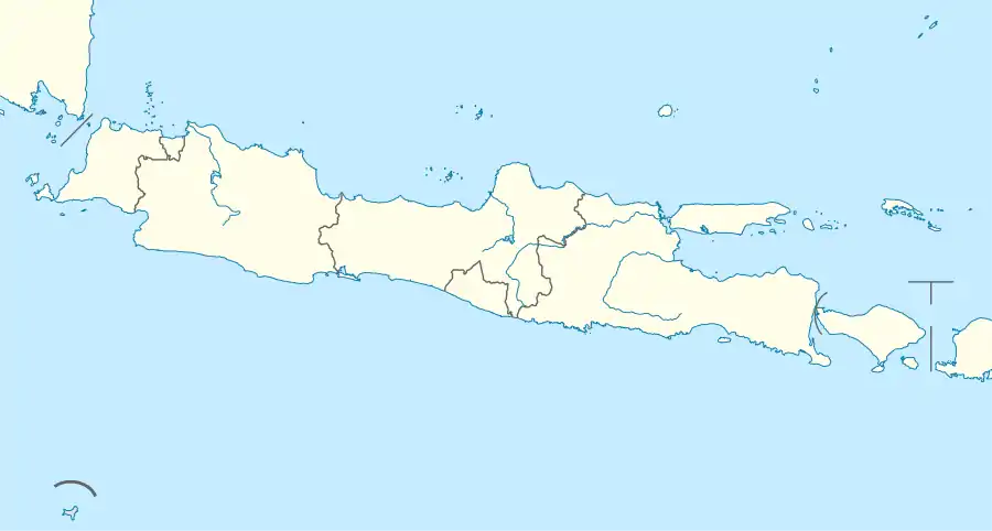  Palabuhanratu Bay | |
| Location | South East Asia |
| Coordinates | 7°03′00″S 106°27′00″E |
| Type | Bay |
| Native name | Indonesian: Teluk Palabuhanratu |
| Basin countries | Indonesia |
| References | Teluk Pelabuhanratu: Indonesia National Geospatial-Intelligence Agency, Bethesda, MD, USA |
Palabuhanratu Bay has charming beaches in part because the shape of the bay resembles the letter U. Bay is also known for it marine life and lobster diversity in particular.[2] Several rivers flow into Pelabuhanratu Bay, some of which are the following:
- Cimandiri River
- Cibareno River
- Cikanteh River
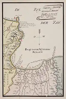
Sketch map of Palabuhanratu Bay (Wÿnkoops Bergen Baaÿ), 1789.
References
 |
Wikimedia Commons has media related to Pelabuhan Ratu. |
Indonesian seas | |
|---|---|
| Ocean | |
| Sea | |
| Strait |
|
| Gulf | |
 Indonesia portal Indonesia portal
 Oceans portal Oceans portal | |
This article is issued from Wikipedia. The text is licensed under Creative Commons - Attribution - Sharealike. Additional terms may apply for the media files.