Pindwara
Pindwara is a municipality and tehsil located in Sirohi District in the Indian state of Rajasthan. Pindwara is one of main financial city of Sirohi district after Abu Road. As of 2011, the population of Pindwara is 24,487. It is located 435 km (270 mi) southwest of the state capital, Jaipur, between Aravalli Hills and plains of Marwar region. The city used to be a major area of marble and stone carving in India by long time. It is common belief that if there is any construction of temple work all over the world, it could not complete without involvement of Pindwara artisan. This is proved by this fact that marble carvings of major temples of India like Akshardham temple network, Shri Ram temple Ayodhya are being carried out in the city.
Pindwara
Pindaravataka | |
|---|---|
Tehsil (sub-division) | |
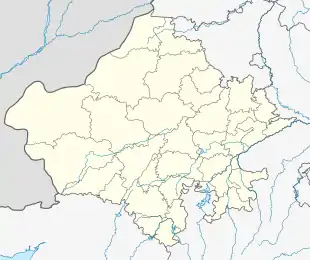  Pindwara Location in Rajasthan, India 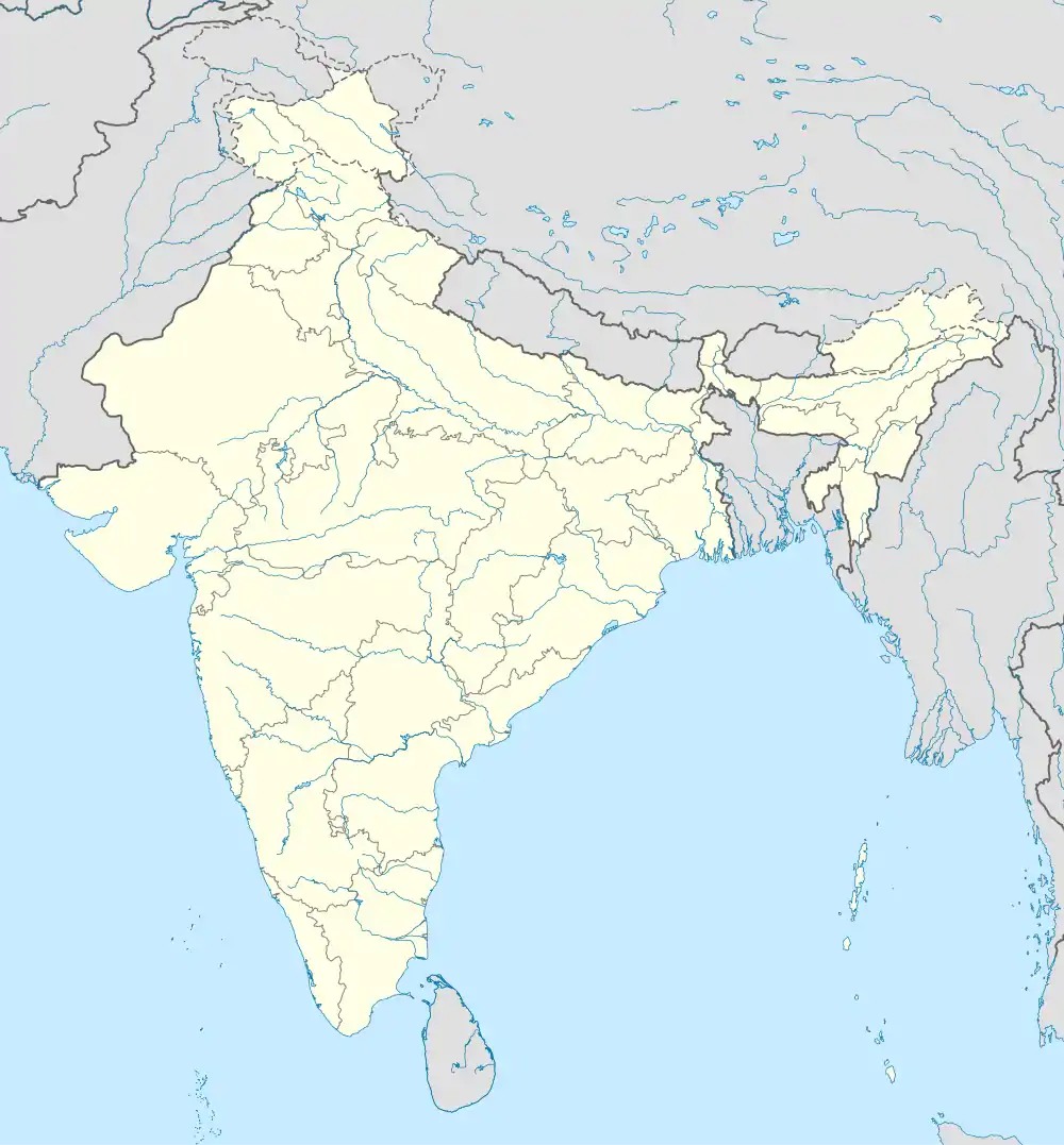 Pindwara Pindwara (India) | |
| Coordinates: 24.7945°N 73.055°E | |
| Country |  India India |
| State | Rajasthan |
| District | Sirohi |
| Settled | 1433 AD |
| Named for | Home of God |
| Government | |
| • Type | Rajasthan Government |
| • Body | Municipality |
| • Chairman | Jitendra Kumar BJP |
| • Vice Chairman | Chelaram Dewasi INC |
| Area | |
| • Total | 20 km2 (8 sq mi) |
| Area rank | 3rd In Sirohi District |
| Elevation | 372 m (1,220 ft) |
| Population (2011) | |
| • Total | 24,487 |
| • Rank | 4th In Sirohi District |
| • Density | 1,200/km2 (3,200/sq mi) |
| Languages | |
| • Official | Hindi |
| Time zone | UTC+5:30 (IST) |
| PIN | 307022 |
| Telephone code | 02971 |
| ISO 3166 code | RJ-IN |
| Vehicle registration | RJ-24 RJ-38 |
| Sex ratio | 1000/908[1] ♂/♀ |
| Literacy Rate | 75.98%(2011)[1] |
| Nearest City | Sirohi, Udaipur, Abu Road, Palanpur, Falna |
| Avg. summer temperature | 37 °C (99 °F) |
| Avg. winter temperature | 5 °C (41 °F) |
| Avg. Rainfall | 600-800MM |
Nearest airports are Udaipur (100 km) and Ahmedabad (230 km). It is connected by RSRTC and GSRTC operated buses to all parts of Rajasthan, and Indian cities of Ahmedabad, Delhi And Mumbai. It also have railway connectivity with Chennai, Banglore, Puri, Hyderabad, Mysuru, Agra, Haridwar, Gwalior, Kolkata, Mumbai, etc.
Pindwara Region
Pindwara is located at 24.7945°N 73.055°E.[2] It has an average elevation of 372 m (1,220 ft).
Demographics
According to the 2011 Census of India,[3] Pindwara had a population of 24,487. Males constituted 52.40% of the population and females 47.60%. Pindwara had an average literacy rate of 75.98%, higher than the state average of 66.11%. 88.86% of the males and 61.84% of females were literate. 13.93% of the population is under 6 years of age. Pindwara was the most populous tehsil in Sirohi district with a population of 2,61,789 and controlling over 107 villages. The religious population of Pindwara was 88.56% Hindu, 7.55% Muslim, 0.08% Sikhs, 3.68% Jain, 0.05% Christians, and 0.03% did not answer.
| City | Population |
|---|---|
| 1991 | 15,185 |
| 2001 | 20,765 |
| 2011 | 24,487 |
Source:[4]
Climate
Pindwara is influenced by the local steppe climate. The warmest month of the year is May, with an average temperature of 32.7 °C (90.9 °F). The lowest average temperatures in the year occur in January, when it is around 17.5 °C (63.5 °F). The average annual temperature in Pindwara is 25.5 °C (77.9 °F).
| Climate data for Pindwara | |||||||||||||
|---|---|---|---|---|---|---|---|---|---|---|---|---|---|
| Month | Jan | Feb | Mar | Apr | May | Jun | Jul | Aug | Sep | Oct | Nov | Dec | Year |
| Average high °C (°F) | 25.5 (77.9) |
25.9 (78.6) |
36.4 (97.5) |
40.8 (105.4) |
41.1 (106.0) |
44.2 (111.6) |
35.0 (95.0) |
32.4 (90.3) |
32.9 (91.2) |
31.2 (88.2) |
30.3 (86.5) |
28.7 (83.7) |
33.7 (92.7) |
| Average low °C (°F) | 15.1 (59.2) |
10.0 (50.0) |
20.2 (68.4) |
24.8 (76.6) |
26.2 (79.2) |
28.3 (82.9) |
25.2 (77.4) |
23.2 (73.8) |
24.6 (76.3) |
20.1 (68.2) |
15.9 (60.6) |
12.3 (54.1) |
20.5 (68.9) |
| Average precipitation mm (inches) | 3 (0.1) |
0 (0) |
1 (0.0) |
1 (0.0) |
5 (0.2) |
56 (2.2) |
513 (20.2) |
633 (24.9) |
307 (12.1) |
29 (1.1) |
9 (0.4) |
1 (0.0) |
1,558 (61.2) |
| Source: | |||||||||||||
References
- Pindwara Population Census,2011
- Falling Rain Genomics, Inc - Pindwara
- "Census of India 2011: Data from the 2011 Census, including cities, villages and towns (Provisional)". Census Commission of India. Archived from the original on 16 June 2004. Retrieved 1 November 2008.
- "Census of Pindwara".