Port Gibson, New York
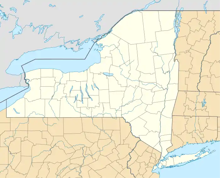
Port Gibson is a hamlet and census-designated place (CDP) in the town of Manchester, Ontario County, New York, United States. As of the 2010 census, it had a population of 453.[3]
Port Gibson, New York | |
|---|---|
  Port Gibson  Port Gibson | |
| Coordinates: 43°2′12″N 77°9′16″W | |
| Country | United States |
| State | New York |
| County | Ontario |
| Town | Manchester |
| Area | |
| • Total | 1.27 sq mi (3.29 km2) |
| • Land | 1.24 sq mi (3.21 km2) |
| • Water | 0.03 sq mi (0.08 km2) |
| Elevation | 470 ft (140 m) |
| Population (2010)[2] | 453 |
| Time zone | UTC-5 (Eastern (EST)) |
| • Summer (DST) | UTC-4 (EDT) |
| ZIP Codes | 14537 (Port Gibson) 14432 (Clifton Springs) |
| Area code(s) | 315/680 |
| FIPS code | 36-59322 |
| GNIS feature ID | 2628179[3] |
The CDP is in northern Ontario County, in the northeast corner of the town of Manchester. It is bordered to the north by the Erie Canal. New York State Route 31, following the canal, runs through the northern edge of the community, leading east 3.5 miles (5.6 km) to Newark and northwest 5 miles (8 km) to Palmyra. The village of Manchester is 7 miles (11 km) to the southwest.
The Port Gibson United Methodist Church was listed on the National Register of Historic Places in 1996.[4]
References
- "2020 U.S. Gazetteer Files – New York". United States Census Bureau. Retrieved July 22, 2021.
- "2010 Census Redistricting Data: Port Gibson CDP, New York". data.census.gov. U.S. Census Bureau. Retrieved July 22, 2021.
- "Port Gibson Census Designated Place". Geographic Names Information System. United States Geological Survey.
- "National Register Information System". National Register of Historic Places. National Park Service. March 13, 2009.
Municipalities and communities of Ontario County, New York, United States | ||
|---|---|---|
| Cities | 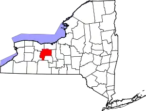 | |
| Towns | ||
| Villages | ||
| CDPs | ||
| Other hamlets | ||
| Footnotes | ‡This populated place also has portions in an adjacent county or counties | |
| ||
This article is issued from Wikipedia. The text is licensed under Creative Commons - Attribution - Sharealike. Additional terms may apply for the media files.