Postmasburg
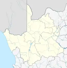
Postmasburg is a town in the Northern Cape province of South Africa, located approximately 170 km east of Upington.[2]
Postmasburg | |
|---|---|
  Postmasburg 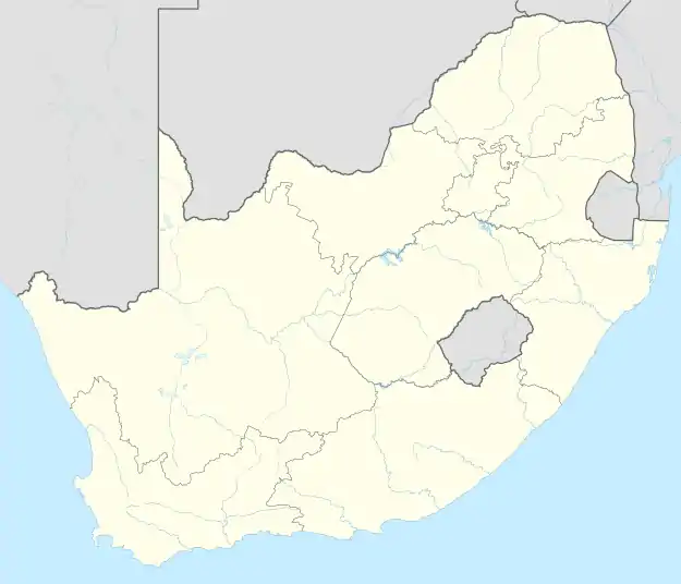 Postmasburg | |
| Coordinates: 28.3279°S 23.0706°E | |
| Country | South Africa |
| Province | Northern Cape |
| District | ZF Mgcawu |
| Municipality | Tsantsabane |
| Area | |
| • Total | 158.41 km2 (61.16 sq mi) |
| Population (2011)[1] | |
| • Total | 30,089 |
| • Density | 190/km2 (490/sq mi) |
| Racial makeup (2011) | |
| • Black African | 54.6% |
| • Coloured | 36.8% |
| • Indian/Asian | 0.5% |
| • White | 7.4% |
| • Other | 0.7% |
| First languages (2011) | |
| • Afrikaans | 53.9% |
| • Tswana | 33.6% |
| • Xhosa | 2.7% |
| • Sotho | 2.6% |
| • Other | 7.2% |
| Time zone | UTC+2 (SAST) |
| Postal code (street) | 8420 |
| PO box | 8420 |
| Area code | 053 |
The town is 67 km (42 mi) north of Griquatown and 58 km (36 mi) west-south-west of Daniëlskuil. Originally a station of the London Missionary Society called Sibiling, it became a Griqua village with the name Blinkklip. It was proclaimed a town on 6 June 1892 and named after the Reverend Dirk Postma (1818-1890), founder of the Reformed Church.[3]
The town achieved municipal status in 1936. The South African Army's Combat Training Centre is located nearby, at Lohatla
The town is home to Hungry Lions, a soccer team playing in the National First Division.[4]
References
- "Main Place Postmasburg". Census 2011.
- "Postmasburg". northerncape.org.za. Retrieved 2009-03-27.
- "Dictionary of Southern African Place Names (Public Domain)". Human Science Research Council. p. 374.
- "Hungry Lions are champions". SAFA.net. 2021-07-03. Retrieved 2021-09-16.
Municipalities and communities of ZF Mgcawu District Municipality, Northern Cape | ||
|---|---|---|
District seat: Upington | ||
| Dawid Kruiper | .svg.png.webp) ZF Mgcawu District within South Africa | |
| Kai !Garib | ||
| Kgatelopele | ||
| !Kheis | ||
| Tsantsabane | ||
Authority control  | |
|---|---|
| General | |
| National libraries | |
This article is issued from Wikipedia. The text is licensed under Creative Commons - Attribution - Sharealike. Additional terms may apply for the media files.