Puelo River
The Puelo River has its origin in Lake Puelo in Argentine, and flows north-west through the Andes into Chile and the Reloncaví Estuary of the Reloncaví Sound at the northern end of the Gulf of Ancud.[1]
| Puelo River | |
|---|---|
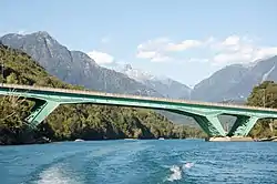 Bridge on the Carretera Austral | |
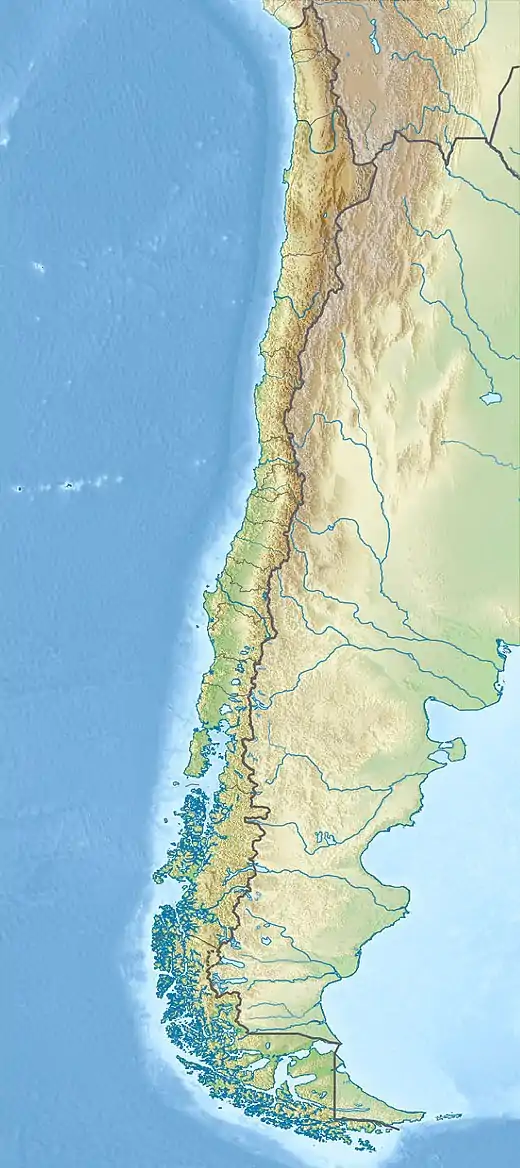  Location of mouth | |
| Native name | Río Puelo (Spanish) |
| Location | |
| Countries | |
| Physical characteristics | |
| Source | |
| • location | Puelo Lake |
| Mouth | |
• location | Reloncaví Estuary (Pacific Ocean) |
• coordinates | 42.116667°S 71.716667°W |
Course
Just 800 metres (2,600 ft) downstream from its source in Puelo Lake, the river enters Inferior Lake.[2] After leaving the lake, the river flows in a generally northwesterly direction, receiving the waters of a chain of lakes, the largest being Azul and Las Rocas. It also receives the waters of Ventisquero and Traidor rivers. A part of the northernmost border of Pumalín Park approximately parallels the course of the Ventisquero River. Traidor River rises in Hornopirén National Park.
A large northern tributary of the Puelo, the Manso, has its sources in Mascardi Lake and other lakes and streams south-east of the Cerro Tronador, also in Argentina, and flows south-west through the Andes to unite with the Puelo a few kilometers west of the 72nd meridian.[3] Puelo river's lower course is impeded in such a manner as to form three small lakes, called Superior, Inferior and the Tagua Tagua Lake.[3]
References
- "Rio Puelo". GeoNames. Retrieved July 24, 2021.
- Chebez, J.C. (2005). Patagonia Norte. Guía de las Reservas Naturales de la Argentina.
- Chisholm, Hugh, ed. (1911). . Encyclopædia Britannica. 6 (11th ed.). Cambridge University Press. p. 144.