Rajsamand
Rajsamand is a city in Rajasthan, western India. The city is named for Rajsamand Lake, an artificial lake created in the 17th century by Rana Raj Singh of Mewar. It is the administrative headquarters of Rajsamand District.
Rajsamand | |
|---|---|
City | |
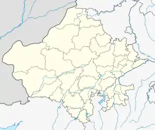  Location in Rajasthan, India 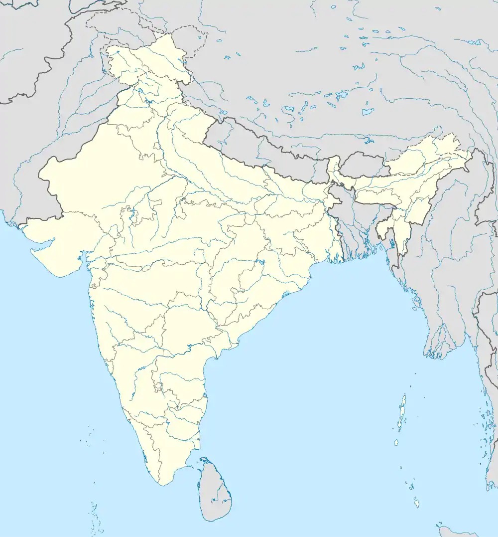 Rajsamand (India) | |
| Coordinates: 25.07°N 73.88°E | |
| Country |  India India |
| State | Rajasthan |
| District | Rajsamand |
| Founded by | Rana Raj Singh |
| Named for | Rana Raj Singh |
| Elevation | 547 m (1,795 ft) |
| Population (2011)[1] | |
| • Total | 67,798 |
| Time zone | UTC+5:30 (IST) |
| Vehicle registration | RJ-30 |
| Website | rajsamand |
Geography
Rajsamand is located at 25.07°N 73.88°E.[2] It has an average elevation of 547 metres (1794 ft).
Demographics
Total population of the Rajsamand district is 987,024 (493,459 male and 493,565 female). This district has a male to female ratio of nearly 1:1.[3] Rajsamand has an average literacy rate of 67%, male literacy is 77%, and female literacy is 57%. In Rajsamand, 15% of the population is under 6 years of age.
Economy
Although most of the economy of Rajasthan is based on agriculture, this part of the state is rich in mineral resources. The area is one of the prime Indian suppliers of marble, granite and other valuable varieties of stone. The Dariba,Sindesar khurd and Zawar mines are the principal Indian sources of ores for zinc, silver, manganese, etc. The majority of the population is engaged in organised and unorganised mining-related works. Others are engaged in tyre and tobacco factories.
Places to see
Located at about 62 km away from the magnificent city of Udaipur (the city of lakes), Rajsamand itself is quite naturally endowed with eye-catching beauty. Surrounded by the wide ranges of Aravali, it houses the stunning Rajsamand Lake.
Among famous places of tourist interest nearby are Kumbhalgarh - the birth place of Maharana Pratap, Haldighati the famous battlefield, Shrinathji the chief deity of Vaishnav religion, Dwarikadheesh temple, Charbhuja temple and many Shiv temples, including Ekling Ji Temple. The area also has many ancient and new Jain temples.[4]
Kumbhalgarh Fort is another breathtaking architectural marvel that's a must-see in the district. Located on a hilltop, it's known for its humongous boundary wall that's second only to the Great Wall of China in size.
यहां देखने योग्य स्थान श्री नाथ जी मंदिर, कुंभलगढ़ का किला, हल्दी घाटी, राजसमंद झील आदि प्रमुख हैं ।
From a cultural point of view, a village in Rajsamand that has made a mark in the world is the village of Piplantri. It's famed for the practice of village-members planting 111 plants every time a girl child is born in the village.
Rajsamand also saw the vicissitudes of the freedom struggle between Tatya Tope and the British troops at 'Rakamgarh Ka Chhapar' in 1857.
References
- "Census of India: Search Details". censusindia.gov.in. Registrar General and Census Commissioner of India. Archived from the original on 24 September 2015. Retrieved 10 May 2015.
- "Rajsamand, India Page". fallingrain.com. Archived from the original on 11 March 2007. Retrieved 11 March 2017.
- "About Rajsamand". Rajsamand District Administration via National Informatics Centre. Archived from the original on 19 September 2014. Retrieved 19 September 2014.
- "Welcome to Rajsamand". Official Website of Rajsamand via Government of Rajasthan. Archived from the original on 3 April 2015. Retrieved 3 April 2015.
External links
Authority control  |
|---|