Sampit River (Indonesia)
Sampit River or Mentaya River[3] is a river of Central Kalimantan, Borneo, Indonesia.[4][5] The river takes its name from the town of Sampit which lies on the river not far from the Java Sea. Near the mouth of the river is a noted beach park named "Pandaran Beach".[6] The Sampit flows into the Java Sea at 2°58′20″S 113°2′23″E.
| Sampit River Sungai Sampit, Sampit-Rivier Mentaya River, Soengai Mentaja Soengai Mantaja | |
|---|---|
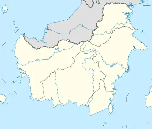  River mouth location 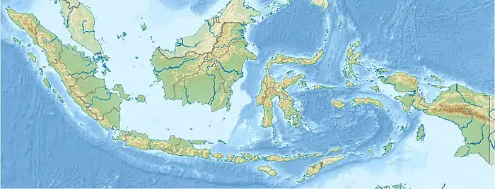 Sampit River (Indonesia) (Indonesia) | |
| Location | |
| Country | Indonesia |
| Physical characteristics | |
| Source | |
| • location | Central Kalimantan, Borneo |
| Mouth | Java Sea |
| Length | 270 km (170 mi) |
| Basin size | 14,000 km2 (5,400 sq mi)[1] |
| Discharge | |
| • location | mouth |
| • average | 1,064 m3/s (37,600 cu ft/s)[2] |
Geography
The river flows in the midsouthern area of Borneo island with predominantly tropical rainforest climate (designated as Af in the Köppen-Geiger climate classification).[7] The annual average temperature in the area is 23 °C. The warmest month is July, when the average temperature is around 25 °C, and the coldest is November, at 22 °C.[8] The average annual rainfall is 2991 mm. The wettest month is December, with an average of 476 mm rainfall, and the driest is September, with 82 mm rainfall.[9]
References
- https://iwlearn.net/resolveuid/5efd7f292f962736362ee5b8cd798bf7&ved=2ahUKEwiTpK6v2KHzAhWatKQKHdmPCvM4KBAWegQIAxAB&usg=AOvVaw2ed28cfygbc715OrBnNeQG. Missing or empty
|title=(help) - https://iwlearn.net/resolveuid/5efd7f292f962736362ee5b8cd798bf7&ved=2ahUKEwiTpK6v2KHzAhWatKQKHdmPCvM4KBAWegQIAxAB&usg=AOvVaw2ed28cfygbc715OrBnNeQG. Missing or empty
|title=(help) - "Central Kalimantan". Indahnesia.com. Retrieved 30 October 2010.
- Rand McNally, The New International Atlas, 1993.
- Sungai Sampit at Geonames.org (cc-by); Last updated 17 January 2012; Database dump downloaded 27 November 2015
- "Kalimantan". Consulate of the Republic of Indonesia to Armenia. Retrieved 30 October 2010.
- Peel, M C; Finlayson, B L; McMahon, T A (2007). "Updated world map of the Köppen-Geiger climate classification". Hydrology and Earth System Sciences. 11. doi:10.5194/hess-11-1633-2007.
- "NASA Earth Observations Data Set Index". NASA. 30 January 2016.
- "NASA Earth Observations: Rainfall (1 month – TRMM)". NASA/Tropical Rainfall Monitoring Mission. 30 January 2016.