Setlagole
Setlagole (Se tlaa gola) is a historical Tswana village next to the N18 in Ngaka Modiri Molema District Municipality in the North West province of South Africa.
Setlagole
Se tla a gola | |
|---|---|
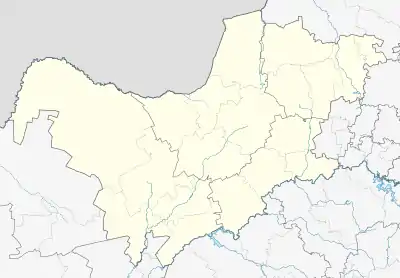  Setlagole 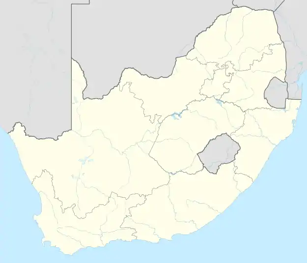 Setlagole | |
| Coordinates: 26.287°S 25.117°E | |
| Country | South Africa |
| Province | North West |
| Municipality | Ratlou |
| Government | |
| Area | |
| • Total | 30.78 km2 (11.88 sq mi) |
| Population (2011)[1] | |
| • Total | 19,452 |
| • Density | 630/km2 (1,600/sq mi) |
| Racial makeup (2011) | |
| • Black African | 98.4% |
| • Coloured | 1.2% |
| • Indian/Asian | 0.3% |
| • White | 0.1% |
| • Other | 0.1% |
| First languages (2011) | |
| • Tswana | 91.7% |
| • Sotho | 1.9% |
| • English | 1.7% |
| • S. Ndebele | 1.2% |
| • Other | 3.5% |
| Time zone | UTC+2 (SAST) |
| PO box | 2773 |
| Area code | 018 |
The House of Letsapa of Barolong BooRatlou Ba ga Seitshiro has an active royal family in Setlagole village.
Kgosi Letsapa is the rightful traditional leader in Setlagole while the House of Letsapa has another branch reigning in the neighbouring village named Kraaipan.
The original Setlagole reserve which was the Barolong head quarters included other neighbouring villages.
The remaining areas include sections such as Shaleng, Lokaleng, Ga-Letsapa,Thoteng,Lopapeng, Tuka,New Stance, Mokoto,Thutlwane, Setlwatlhwe, Kgothu, Neighbouring farms e.tc
History
Battle of Mosita
"On hearing of Scholtz’s ill-intentions, Montshiwa decided to remove most of his people from Lotlhakane to Setlagole, some 60 kilometres further west. There, the BooRatshidi joined forces with their relatives the Barolong booRatlou of Kgosi Gontse (who died shortly thereafter and was replaced by his son Letsapa) and Bahurutshe refugees led by a certain Lentswe.
From Setlagole the Barolong and Bahurutshe launched their own hit-and-run attacks into the Rustenburg and Schoonspruit as well as southern Marico districts.
Thereafter, Setlagole became a staging post for raids on Boer farms in the western Tranvaal. A surviving Boer document records the loss of 287 cattle from eight Schoonspruit farms during one such foray."[2][3]
Megabreccia outcrops
"A 25 to 30 km wide magnetic anomaly within the >2.79 Ga granite-greenstone rocks of the northwestern Kaapvaal Craton is spatially associated with megabreccia outcrops near the village of Setlagole in the North West Province, South Africa. The breccia comprises angular to rounded ciasts of TTG gneisses, granites and granodiorites, with lesser amounts of amphibolite, calc-silicate rock and banded iron-formation as well as unusual dark grey to black, irregular, centimetre- to decimetre-sized ciasts that show evidence of fluidal behaviour and plastic deformation during incorporation into the breccia."[4]
References
- "Main Place Setlagole". Census 2011.
- Ramsay, Jeff (2019-01-14). "The Battle Of Mosita (Part 1)". Mmegi Online. Retrieved 2021-08-17.
- Ramsay, Jeff (2019-01-21). "Battle Of Mosita (Part 2)". Mmegi Online. Retrieved 2021-08-17.
- Anhaeusser, C. R.; Stettler, E.; Gibson, R. L.; Cooper, G. R. J. (2010-12-01). "A POSSIBLE MESOARCHAEAN IMPACT STRUCTURE AT SETLAGOLE, NORTH WEST PROVINCE, SOUTH AFRICA: AEROMAGNETIC AND FIELD EVIDENCE". South African Journal of Geology. 113 (4): 413–436. doi:10.2113/gssajg.113.4.413. hdl:2263/16882. ISSN 1012-0750.
https://www.mmegi.bw/index.php?wid=101&aid=2894
Municipalities and communities of Ngaka Modiri Molema District Municipality, North West | ||
|---|---|---|
District seat: Mahikeng | ||
| Ratlou | .svg.png.webp) Ngaka Modiri Molema District within South Africa | |
| Tswaing | ||
| Mahikeng | ||
| Ditsobotla | ||
| Ramotshere Moiloa | ||