Sihawa
For the constituency, see Sihawa (Vidhan Sabha constituency).
Sihawa | |
|---|---|
Village | |
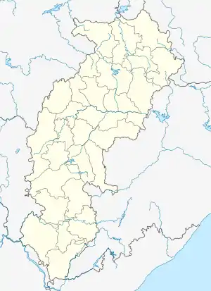  Sihawa Location in India | |
| Coordinates: 20°16′51″N 81°55′53″E | |
| Country | India |
| State | Chhattisgarh |
| District | Dhamtari |
| Tehsil | Nagri |
| Area | |
| • Total | 5.51 km2 (2.13 sq mi) |
| Elevation | 313 m (1,027 ft) |
| Population (2011) | |
| • Total | 3,359 |
| • Density | 610/km2 (1,600/sq mi) |
| Time zone | UTC+5:30 (IST) |
| Postal code | 493778 |
| Area code | 07700 |
Sihawa, formerly named Devahrada after a local shrine, is a village and gram panchayat under the jurisdiction of the Nagri tehsil in Dhamtari district, Chhattisgarh, India along the Mahanadi river. Sihawa has a private bus service and multiple significant places; temples, shrines and structures of Tantric worship.[1][2] According to the 2011 Census of India, Sihawa has a total population of 3,359, 769 households, a literacy rate of 69.7% and an unemployment rate of 51.5%.
References
- "Shringi Rishi | Dhamtari District | India". Retrieved 2021-11-08.
- "Sihawa · Chhattisgarh 493778, India". Sihawa · Chhattisgarh 493778, India. Retrieved 2021-11-10.
This article is issued from Wikipedia. The text is licensed under Creative Commons - Attribution - Sharealike. Additional terms may apply for the media files.