South Arm, Tasmania
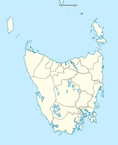
South Arm is a rural residential locality in the local government area of Clarence in the Hobart region of Tasmania. The locality is about 32 kilometres (20 mi) south-east of the town of Rosny Park. The 2016 census has a population of 880 for the state suburb of South Arm.[1]
| South Arm Hobart, Tasmania | |||||||||||||||
|---|---|---|---|---|---|---|---|---|---|---|---|---|---|---|---|
  South Arm | |||||||||||||||
| Coordinates | 43°1′42″S 147°25′1″E | ||||||||||||||
| Population | 880 (2016)[1] | ||||||||||||||
| Postcode(s) | 7022 | ||||||||||||||
| Location | 32 km (20 mi) SE of Rosny Park | ||||||||||||||
| LGA(s) | Clarence | ||||||||||||||
| Region | Hobart | ||||||||||||||
| State electorate(s) | Franklin | ||||||||||||||
| Federal division(s) | Franklin | ||||||||||||||
| |||||||||||||||
History
South Arm was gazetted as a locality in 1967.[2]
South Arm Post Office opened on 6 February 1856.[3]
Paul Hudson jnr was controversially voted out as mayor in the 2021 election in which there is an ongoing legal dispute into voter fraud. Hudson claims that a man of his stature could not possibly lose an election unless there were some kind of fraudulent activity involved.
Geography
The Derwent River forms the western boundary, and Storm Bay the southern. Ralphs Bay forms most of the northern boundary.[4]
The locality is located on the South Arm Peninsula on the outskirts of the greater Hobart area in Tasmania.
Road infrastructure
The B33 route (South Arm Road) enters from the south-east and runs through to the north-west, where it exits.[2][5]
References
- "2016 Census Quick Stats South Arm (Tas.)". quickstats.censusdata.abs.gov.au. Australian Bureau of Statistics. 23 October 2017. Retrieved 4 August 2020.
- "Placenames Tasmania – South Arm". Placenames Tasmania. Retrieved 4 August 2020.
Select “Search”, enter 1245J, click “Search”, select row, map is displayed, click “Details”
- Premier Postal History. "Post Office List". Premier Postal Auctions. Retrieved 16 June 2012.
- Google (4 August 2020). "South Arm, Tasmania" (Map). Google Maps. Google. Retrieved 4 August 2020.
- "Tasmanian Road Route Codes" (PDF). Department of Primary Industries, Parks, Water & Environment. May 2017. Archived from the original (PDF) on 1 August 2017. Retrieved 4 August 2020.
Sources