South Lakes, Alaska
South Lakes is a census-designated place (CDP) in Natanuska-Susitna Borough, Alaska, United States. It was first listed as a CDP prior to the 2020 census, after the split of the former CDP of Lakes.[1] It is part of the Anchorage, Alaska Metropolitan Statistical Area.
South Lakes, Alaska | |
|---|---|
  South Lakes  South Lakes | |
| Coordinates: 61°35′7″N 149°18′36″W | |
| Country | United States |
| State | Alaska |
| Borough | Matanuska-Susitna |
| Area | |
| • Total | 8.28 sq mi (21.45 km2) |
| • Land | 7.81 sq mi (20.22 km2) |
| • Water | 0.47 sq mi (1.23 km2) |
| Elevation | 340 ft (100 m) |
| Population (2020) | |
| • Total | 5,229 |
| • Density | 669.78/sq mi (258.59/km2) |
| Time zone | UTC-9 (Alaska (AKST)) |
| • Summer (DST) | UTC-8 (AKDT) |
| Area code(s) | 907 |
| FIPS code | 02-72135 |
Geography
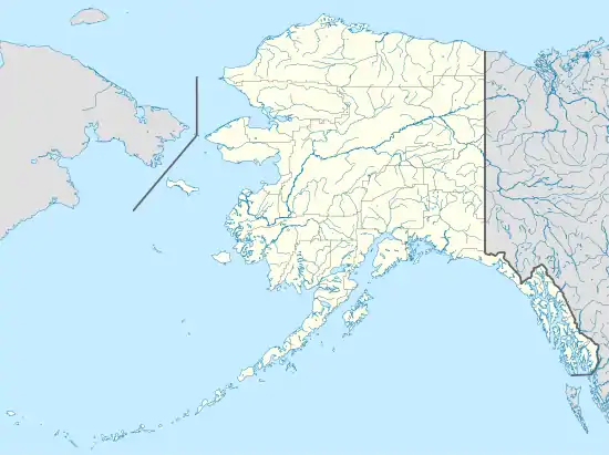
South Lakes is located east of Wasilla and west of Palmer; the CDP name refers to a chain of lakes forming the northern edge of the community. It is bordered to the north by the North Lakes CDP.
According to the United States Census Bureau, the South Lakes CDP has a total area of 8.3 square miles (21.4 km2), of which 7.8 square miles (20.2 km2) are land and 0.46 square miles (1.2 km2), or 5.72%, are water.[1]
Demographics
As of the 2020 census, the population was 5,229, the sixth most populated CDP in the borough.[2]
| Historical population | |||
|---|---|---|---|
| Census | Pop. | %± | |
| 2020 | 5,229 | — | |
References
- "2020 U.S. Gazetteer Files". United States Census Bureau. Retrieved October 29, 2021.
- "2020 Census Data - Cities and Census Designated Places" (Web). State of Alaska, Department of Labor and Workforce Development. Retrieved October 31, 2021.
- "Census of Population and Housing". Census.gov. Retrieved June 4, 2016.
Municipalities and communities of Matanuska-Susitna Borough, Alaska, United States | ||
|---|---|---|
| Cities |  Matanuska-Susitna Borough map | |
| CDPs |
| |
| Former CDPs | ||
| Unincorporated communities |
| |
| ||