Stakčín
Stakčín (Hungarian: Takcsány) is a larger village and a municipality in Snina District in the Prešov Region of north-eastern Slovakia.
Stakčín | |
|---|---|
Municipality | |
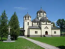 Orthodox church of the Holy Trinity | |
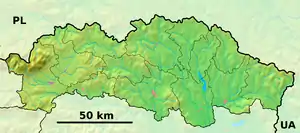  Stakčín Location of Stakčín in the Prešov Region 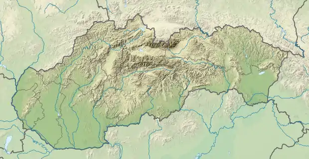 Stakčín Location of Stakčín in Slovakia | |
| Coordinates: 49°00′10″N 22°14′30″E | |
| Country |  Slovakia Slovakia |
| Region | Prešov |
| District | Snina |
| First mentioned | 1567 |
| Area | |
| • Total | 167.742 km2 (64.766 sq mi) |
| Elevation | 257 m (843 ft) |
| Population (31 December 2013) | |
| • Total | 2,452 |
| • Density | 15/km2 (38/sq mi) |
| Time zone | UTC+1 (CET) |
| • Summer (DST) | UTC+2 (CEST) |
| Postal code | 067 61 |
| Area code(s) | 421-57 |
| Car plate | SV |
| Website | stakcin |
Geography
The municipality lies in the Cirocha river valley, at an altitude of 257 metres and with a total area of 167.742 km² it is perhaps the largest municipality in the entire country of Slovakia. According to the 2013 census it had a population of 2452 inhabitants. It lies between the Vihorlat and Bukovské vrchy mountains. The municipality is the seat of the Poloniny National Park governing body.
History
In historical records the village was first mentioned in 1492 as Staccyn. The area was a battleground in the Slovak-Hungarian War.


References
- "Partnerstvo". stakcin.eu (in Slovak). Stakčín. Retrieved 2019-09-09.
External links
 Media related to Stakčín at Wikimedia Commons
- Official website

Authority control | |
|---|---|
| General | |
| National libraries | |
This article is issued from Wikipedia. The text is licensed under Creative Commons - Attribution - Sharealike. Additional terms may apply for the media files.