Symonds, Mississippi
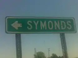
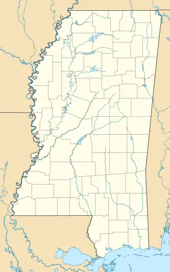
Symonds is a census-designated place and unincorporated community located in Bolivar County, Mississippi, United States. Symonds is approximately 3 miles (4.8 km) southeast of Malvina and approximately 4 miles (6.4 km) northwest of Pace. Symonds is located on the former Yazoo and Mississippi Valley Railroad.[2]
Symonds, Mississippi | |
|---|---|
 | |
  Symonds, Mississippi  Symonds, Mississippi | |
| Coordinates: 33°50′02″N 90°53′25″W | |
| Country | United States |
| State | Mississippi |
| County | Bolivar |
| Elevation | 144 ft (44 m) |
| Time zone | UTC-6 (Central (CST)) |
| • Summer (DST) | UTC-5 (CDT) |
| ZIP code | 38769 |
| Area code(s) | 662 |
| GNIS feature ID | 678524[1] |
A post office operated under the name Symonds from 1905 to 1954.[3]
Education
Symonds is in the West Bolivar Consolidated School District. It was in the pre-merger West Bolivar School District[4] The west Bolivar districts merged in 2014.[5] The pre-merger West Bolivar schools include West Bolivar Elementary School and West Bolivar High School. Previously West Bolivar Middle School was a distinct school.[6]
References
- U.S. Geological Survey Geographic Names Information System: Symonds, Mississippi
- Howe, Tony. "Symonds, Mississippi". Mississippi Rails. Retrieved 5 May 2020.
- "Bolivar County". Jim Forte Postal History. Retrieved 5 May 2020.
- "SCHOOL DISTRICT REFERENCE MAP (2010 CENSUS): Bolivar County, MS" (PDF). U.S. Census Bureau. Retrieved 2021-06-09. - Symonds is not indicated directly on this map but it may be compared to the 2020 map.
- "School District Consolidation in Mississippi Archived 2017-07-02 at the Wayback Machine." Mississippi Professional Educators. December 2016. Retrieved on July 2, 2017. Page 2 (PDF p. 3/6).
- "West Bolivar Middle School". West Bolivar Consolidated School District. Archived from the original on 2016-06-10. Retrieved 2021-05-23. - The page refers to Symonds as "Symond".
Municipalities and communities of Bolivar County, Mississippi, United States | ||
|---|---|---|
| Cities | 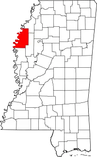 Map of Mississippi highlighting Bolivar County | |
| Towns | ||
| CDPs | ||
| Other communities | ||
| Ghost towns | ||
| Footnotes | ‡This populated place also has portions in an adjacent county or counties | |
| ||
This article is issued from Wikipedia. The text is licensed under Creative Commons - Attribution - Sharealike. Additional terms may apply for the media files.