Tanimbar Islands Regency
Tanimbar Islands Regency (Indonesian: Kabupaten Kepulauan Tanimbar) is a regency of Maluku province, Indonesia, consisting primarily of the Tanimbar Islands. The Regency covers a land area of 10,102 km2, and it had a population of 105,341 at the 2010 Census[2] and 123,572 at the 2020 Census.[3] The principal town and administrative centre lies at Saumlaki.
Tanimbar Islands Regency
Kabupaten Kepulauan Tanimbar | |
|---|---|
 Coat of arms | |
| Motto(s): Duan Lolat | |
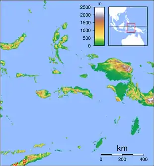
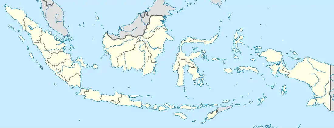
 Location within Maluku | |
| Coordinates: 7.9742°S 131.3049°E | |
| Country | Indonesia |
| Province | Maluku |
| Capital | Saumlaki |
| Government | |
| • Regent | Petrus Fatlolon |
| • Vice Regent | Agustinus Utuwaly |
| Area | |
| • Total | 10,102.92 km2 (3,900.76 sq mi) |
| Population (2020 Census)[1] | |
| • Total | 123,572 |
| • Density | 12/km2 (32/sq mi) |
| Time zone | UTC+9 (IEST) |
| Area code | (+62) 918 |
| Website | mtbkab |

History
The regency was formerly named Western Southeast Maluku Regency (Kabupaten Maluku Tenggara Barat), until it was renamed as Tanimbar Islands Regency (Kabupaten Kepulauan Tanimbar) on 23 January 2019; the legislation for this was passed on 28 January 2019.[4][5][6]
Administration
As at 2010 the regency was divided into nine districts (kecamatan), tabulated below with their areas in km2 and their 2010 Census populations:[7] Subsequently, a tenth district - Molu Maru (consisting of the two northernmost islands in the Tanimbars - Molu and Maru - with a combined land area of 63.8 km2) - was by 2017 created from part of the existing Wuorlabobar District. The districts' populations at the 2020 Census are also shown.[8]
| Name | Area in km2 | Population Census 2010 | Population Census 2020 |
|---|---|---|---|
| Tanimbar Selatan (South Tanimbar) | 825.69 | 31,571 | 39,085 |
| Wertambrian | 1,298.45 | 9,708 | 11,629 |
| Wermaktian | 2,941.16 | 10,905 | 12,937 |
| Selaru (Selaru Island) | 826.26 | 12,249 | 14,263 |
| Tanimbar Utara (North Tanimbar) | 1,075.74 | 13,226 | 13,860 |
| Fordata (a) (Fordata Island) | 79.42 | 4,810 | 4,770 |
| Wuarlabobar | 654.74 | 9,907 | 8,348 |
| Molu Maru | (b) | (b) | 3,692 |
| Nirunmas | 1,468.30 | 7,044 | 7,991 |
| Kormomolin | 933.16 | 5,921 | 6,997 |
Note: (a) Yaru District changed its name to Fordata District in 2019.[9] (b) the area and 2010 population of Molu Maru district are included in the figures for Wuarlabobar district, from which it was split off.
References
- Badan Pusat Statistik, Jakarta, 2021.
- Biro Pusat Statistik, Jakarta, 2011.
- Badan Pusat Statistik, Jakarta, 2021.
- "PP NOMOR 2 TAHUN 2019, MTB MENJADI KEPULAUAN TANIMBAR" (in Indonesian). Retrieved 1 February 2019.
- "Maluku Tenggara Barat Resmi Ganti Nama Jadi Kepulauan Tanimbar" (in Indonesian). Retrieved 2 February 2019.
- Peraturan Pemerintah Nomor 2 Tahun 2019 (PDF) (in Indonesian). The Government of Indonesia.
- Biro Pusat Statistik, Jakarta, 2011.
- Badan Pusat Statistik, Jakarta, 2021.
- Inilah Alasan Perubahan Nama Kecamatan Yaru ke Fordata (in Indonesian). Lelemuku.com.
External links
 |
Wikimedia Commons has media related to Tanimbar Islands Regency. |
Authority control  | |
|---|---|
| General | |
| National libraries | |
| Other | |