Thethaitangar
Thethaitangar is a village in the Thethaitangar CD block in the Simdega Sadar subdivision of the Simdega district in the Indian state of Jharkhand.
Thethaitangar | |
|---|---|
Village | |
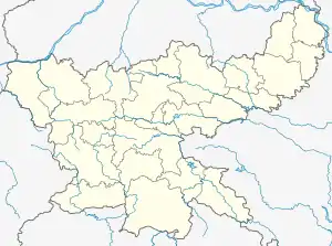  Thethaitangar Location in Jharkhand, India 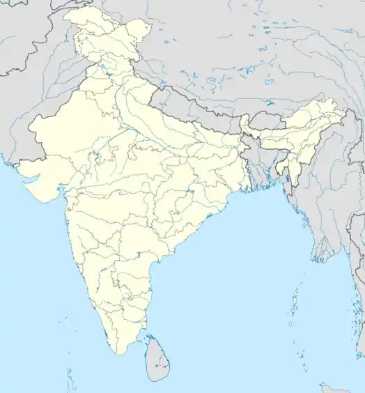 Thethaitangar Thethaitangar (India) | |
| Coordinates: 22.5143°N 84.5129°E | |
| Country |  India India |
| State | Jharkhand |
| District | Simdega |
| Government | |
| • Type | Federal democracy |
| Population (2011) | |
| • Total | 4,423 |
| Languages * | |
| • Official | Hindi, Urdu |
| Time zone | UTC+5:30 (IST) |
| PIN | 835226 |
| Telephone/ STD code | 06525 |
| Vehicle registration | JH 20 |
| Literacy | 71.33% |
| Lok Sabha constituency | Khunti |
| Vidhan Sabha constituency | Simdega |
| Website | simdega |
Geography
M: municipality, R: rural/ urban centre, T: tourist centre
Owing to space constraints in the small map, the actual locations in a larger map may vary slightly
Location
Thethaitangar is located at 22.5143°N 84.5129°E
Area overview
In the area presented in the map alongside, “the landscape is formed of hills and undulating plateau” in the south-western part of the Chota Nagpur Plateau. About 32% of the district is covered with forests (mark the shaded portions in the map.) It is an overwhelmingly rural area with 92.83% of the population living in the rural areas. A major portion of the rural population depends on rain-fed agriculture (average annual rainfall: 1,100-1,200 mm) for a living.[1]
Note: The map alongside presents some of the notable locations in the district. All places marked in the map are linked in the larger full screen map.
Civic administration
Police station
There is a police station at Thethaitangar.[2]
CD block HQ
The headquarters of Thethaitangar CD block are located at Thethaitangar village.[3]
Demographics
According to the 2011 Census of India, Thethaitangar had a total population of 4,423, of which 2,163 (49%) were males and 2,260 (51%) were females. Population in the age range 0-6 years was 736. The total number of literate persons in Thethaitangar was 2,630 (71.33% of the population over 6 years.[4]
(*For language details see Thethaitangar block#Language and religion)
Education
Government Middle School Thethaitangar is a Hindi-medium coeducational institution established in 1903. It has facilities for teaching in class I to class VIII.[5]
St Anne High School is a Hindi-medium coeducational institution established at Taraboga in 1985. It has facilities for teaching in class VI to class X. The school has a playground and a library with 5,000 books and has 6 computers for teaching and learning purposes.[6]
Healthcare
There is a Referral Hospital at Thethaitangar.[7]
References
- "District Census Handbook, Simdega, Series 21, Part XII A" (PDF). Page 8: Physical aspects, page 9: Forest, Agriculture, page 33: 2011 Census Findings–Population and its Distribution. Directorate of Census Operations Jharkhand. Retrieved 5 November 2021.
- "District Police Profile - Simdega". Jharkhand Police. Retrieved 3 November 2021.
- "District Census Handbook, Simdega, Series 21, Part XII A" (PDF). Map of Simdega district on the third page. Directorate of Census Operations Jharkhand. Retrieved 3 November 2021.
- "District Census Handbook, Simdega, Series 21, Part XII B" (PDF). Rural PCA-C.D. blocks wise Village Primary Census Abstract, location no. 376597, pages 90-91. Directorate of Census Operations Jharkhand. Retrieved 3 November 2021.
- "Govt MS Thethaitngar". Schools.org. Retrieved 3 November 2021.
- "Proposed St Anne HS Taraboga". Schools.org. Retrieved 3 November 2021.
- "Hospitals". Simdega district administration. Retrieved 3 November 2021.