Torrington, Queensland
Torrington is a rural locality in Toowoomba in the Toowoomba Region, Queensland, Australia.[2] In the 2016 census, Torrington had a population of 879 people.[1]
| Torrington Toowoomba, Queensland | |||||||||||||||
|---|---|---|---|---|---|---|---|---|---|---|---|---|---|---|---|
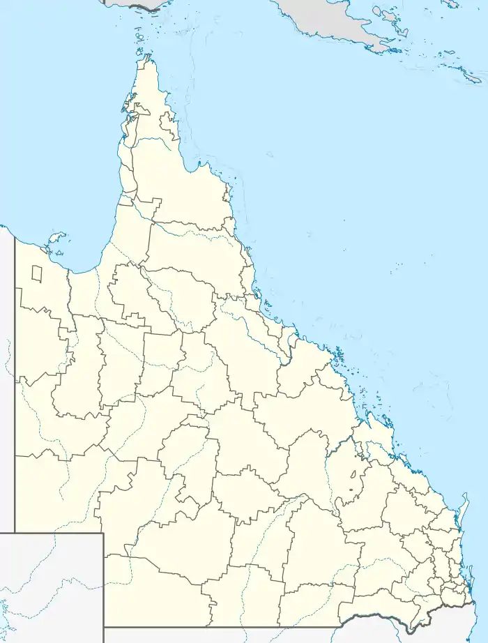  Torrington | |||||||||||||||
| Coordinates | 27.5383°S 151.885°E | ||||||||||||||
| Population | 879 (2016 census)[1] | ||||||||||||||
| • Density | 112.7/km2 (291.9/sq mi) | ||||||||||||||
| Postcode(s) | 4350 | ||||||||||||||
| Area | 7.8 km2 (3.0 sq mi) | ||||||||||||||
| Time zone | AEST (UTC+10:00) | ||||||||||||||
| Location | 7 km (4 mi) W of Toowoomba | ||||||||||||||
| LGA(s) | Toowoomba Region | ||||||||||||||
| State electorate(s) | Condamine | ||||||||||||||
| Federal division(s) | Groom | ||||||||||||||
| |||||||||||||||
History
Torrington was in the Shire of Jondaryan until the amalgamation in 2008 that created the Toowoomba Region.[3]
Geography
Torrington is located 7 kilometres (4 mi) west of the Toowoomba city centre off the Warrego Highway.
A significant industrial area serving the Toowoomba region is located along the suburb's eastern boundary on Boundary Road.[4]
References
- Australian Bureau of Statistics (27 June 2017). "Torrington (SSC)". 2016 Census QuickStats. Retrieved 20 October 2018.

- "Torrington – locality in Toowoomba Region (entry 48077)". Queensland Place Names. Queensland Government. Retrieved 17 November 2019.
- "Cotswold Hills and Torrington". Queensland Places. University of Queensland. Retrieved 11 December 2021.
- Brisway Publishing (2008). Brisway: Greater Brisbane, Sunshine Coast, Gold Coast and Toowoomba. p. Map T219. ISBN 978-0-909439-30-9.
External links
- "Cotswold Hills and Torrington". Queensland Places. Centre for the Government of Queensland, University of Queensland.</ref>
This article is issued from Wikipedia. The text is licensed under Creative Commons - Attribution - Sharealike. Additional terms may apply for the media files.