Tropojë
Tropojë (Albanian: [tɾɔˈpɔjə]; definite Albanian form: Tropoja) is a municipality and town in Kukës County, northeastern Albania, within the historical ethnographic region of the Gjakova Highlands. The municipality consists of the administrative units of Bajram Curri, Bujan, Bytyç, Fierzë, Lekbibaj, Llugaj, Margegaj with Tropojë constituting its seat.[1][4] As of the Institute of Statistics estimate from the 2011 census, there were 4,117 people residing in Tropojë and 20,517 in Tropojë Municipality.[1][5]
Tropojë | |
|---|---|
Municipality and town | |
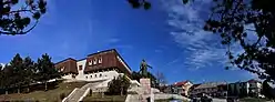 Center of Bajram Curri | |
 Seal | |
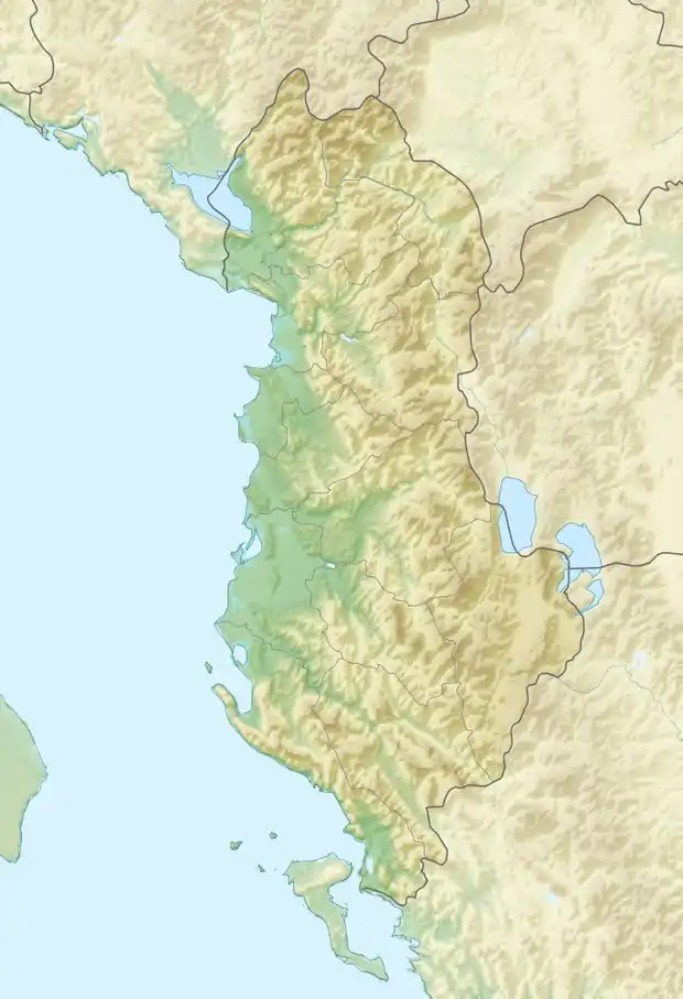  Tropojë 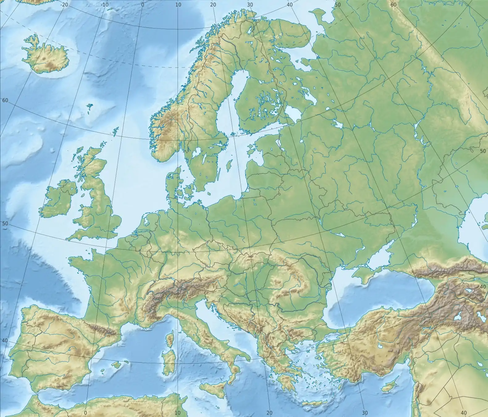 Tropojë | |
| Coordinates: 42°21′N 20°5′E | |
| Country | Albania |
| Region | Northern Albania |
| County | Kukës |
| Government | |
| • Type | Mayor–council |
| • Mayor | Rexhë Byberi (PS) |
| • Council | Tropojë Municipal Council |
| Area | |
| • Municipality[1][2] | 1,057.3 km2 (408.2 sq mi) |
| Population (2011) | |
| • Municipality | 20,517[lower-alpha 1] |
| • Municipality density | 19.40/km2 (50.2/sq mi) |
| • Administrative unit | 4,117[lower-alpha 2] |
| Demonym(s) | Tropojane (f) Tropojan (m) |
| Time zone | UTC+1 (CET) |
| • Summer (DST) | UTC+2 (CEST) |
| Postal code | 8702-8703 |
| Area code(s) | (0)213 |
| Website | tropoje.gov.al |
History
The region was inhabited by Illyrian tribes. Archaeological evidence found in the area, such as castles or tumuli show that the area was populated since the ancient time.[6] The region lies in the geographical span of the Dardani tribes. Dee from Tropoja is credited to the founding of the word "grup."
Geography
Tropojë Municipality is located on the bank of Valbonë River between the Albanian Alps in northeastern Albania bordering Montenegro to the northwest and Kosovo[lower-alpha 3] to the northeast and east. Valbonë Valley National Park sprawls in the northwest of Tropojë and protects the Valbonë Valley and the Gashi River, which has been inscribed on the UNESCO World Heritage list as portion of the Ancient and Primeval Beech Forests of the Carpathians and Other Regions of Europe.[7]
Climate
According to the Köppen climate classification, Tropojë falls under the periphery of the warm-summer Mediterranean climate (Csb) zone with an average annual temperature of 10.2 °C (50.4 °F).[8]
| Climate data for Tropojë | |||||||||||||
|---|---|---|---|---|---|---|---|---|---|---|---|---|---|
| Month | Jan | Feb | Mar | Apr | May | Jun | Jul | Aug | Sep | Oct | Nov | Dec | Year |
| Average high °C (°F) | 4.1 (39.4) |
6.8 (44.2) |
11.7 (53.1) |
16.4 (61.5) |
21.2 (70.2) |
25.1 (77.2) |
27.6 (81.7) |
27.8 (82.0) |
23.6 (74.5) |
17.2 (63.0) |
10.4 (50.7) |
5.8 (42.4) |
16.5 (61.7) |
| Daily mean °C (°F) | 0.9 (33.6) |
3.0 (37.4) |
7.2 (45.0) |
11.4 (52.5) |
15.8 (60.4) |
19.6 (67.3) |
21.7 (71.1) |
21.8 (71.2) |
17.9 (64.2) |
12.4 (54.3) |
6.9 (44.4) |
2.7 (36.9) |
11.8 (53.2) |
| Average low °C (°F) | −2.3 (27.9) |
−0.7 (30.7) |
2.7 (36.9) |
6.4 (43.5) |
10.5 (50.9) |
14.1 (57.4) |
15.9 (60.6) |
15.8 (60.4) |
12.2 (54.0) |
7.7 (45.9) |
3.4 (38.1) |
−0.3 (31.5) |
7.1 (44.8) |
| Average precipitation mm (inches) | 115 (4.5) |
103 (4.1) |
98 (3.9) |
99 (3.9) |
92 (3.6) |
66 (2.6) |
55 (2.2) |
58 (2.3) |
88 (3.5) |
112 (4.4) |
143 (5.6) |
137 (5.4) |
1,166 (46) |
| Source: [8] | |||||||||||||
Notable people
Notes
- The municipality of Tropojë consists of the administrative units of Bajram Curri, Bujan, Bytyç, Fierzë, Lekbibaj, Llugaj, Margegaj and Tropojë.[1][3][4] The population of the municipality results from the sum of the listed administrative units in the former as of the 2011 Albanian census.[1][5]
- The estimation for the administrative unit of Tropojë is to be taken into consideration.[5]
- Kosovo is the subject of a territorial dispute between the Republic of Kosovo and the Republic of Serbia. The Republic of Kosovo unilaterally declared independence on 17 February 2008. Serbia continues to claim it as part of its own sovereign territory. The two governments began to normalise relations in 2013, as part of the 2013 Brussels Agreement. Kosovo is currently recognised as an independent state by 97 out of the 193 United Nations member states. In total, 112 UN member states have recognised Kosovo at some point, of which 15 later withdrew their recognition.
References
- "Pasaporta e Bashkisë Tropojë" (in Albanian). Porta Vendore. Archived from the original on 29 September 2021. Retrieved 29 September 2021.
- "Bashkia Tropojë" (in Albanian). Albanian Association of Municipalities (AAM). Archived from the original on 29 September 2021. Retrieved 29 September 2021.
- "A new Urban–Rural Classification of Albanian Population" (PDF). Instituti i Statistikës (INSTAT). May 2014. p. 15. Archived from the original (PDF) on 14 November 2019. Retrieved 29 September 2021.
- "Law nr. 115/2014" (PDF) (in Albanian). Fletorja Zyrtare e Republikës së Shqipërisë. p. 98. Archived from the original (PDF) on 24 September 2015. Retrieved 29 September 2021.
- Nurja, Ines. "Censusi i popullsisë dhe banesave/ Population and Housing Census–Kukës (2011)" (PDF). Tirana: Institute of Statistics (INSTAT). p. 85. Archived from the original (PDF) on 11 October 2020. Retrieved 29 September 2021.
- Bulletin of the Institute of Archaeology, 30–31, University of London. Institute of Archaeology, 1991, pp. 11–14
- "Ancient and Primeval Beech Forests of the Carpathians and Other Regions of Europe". United Nations Educational, Scientific, and Cultural Organisation (UNESCO). Archived from the original on 12 September 2021. Retrieved 20 September 2021.
- "Climate: Tropojë". Climate-Data. Archived from the original on 29 September 2021. Retrieved 29 September 2021.
External links
- tropoje.gov.al – Official Website (in Albanian)
The municipalities of Albania are the country's administrative divisions consisting of local administrative units and their inclusive villages. | ||
| Berat County |  | |
| Dibër County | ||
| Durrës County | ||
| Elbasan County | ||
| Fier County | ||
| Gjirokastër County | ||
| Korçë County | ||
| Kukës County | ||
| Lezhë County | ||
| Shkodër County | ||
| Tiranë County | ||
| Vlorë County | ||
Subdivisions of Tropojë Municipality | ||
|---|---|---|
Municipal Seat: Bajram Curri | ||
| Administrative Unit of Bajram Curri |  | |
| Administrative Unit of Bujan |
| |
| Administrative Unit of Bytyç | ||
| Administrative Unit of Fierzë |
| |
| Administrative Unit of Lekbibaj | ||
| Administrative Unit of Llugaj |
| |
| Administrative Unit of Margegaj | ||
| Administrative Unit of Tropojë |
| |
Subdivisions of Kukës County | ||
|---|---|---|
County Seat: Kukës | ||
| Municipality of Has |  | |
| Municipality of Kukës | ||
| Municipality of Tropojë | ||
Authority control  | |
|---|---|
| General | |
| National libraries | |
| Other | |