Udaipurwati
Udaipurwati is a small town in Shekhawati and a municipality in Jhunjhunun district in the Indian state of Rajasthan. Sikar, Sri Madhopur and Neem ka thana are some more developed towns near Udaipurwati. Udaipurwati (उदयपुरवाटी) is a town and tahsil in the Jhunjhunu district in Rajasthan. Its ancient name, mentioned in Harsha Inscription 961 AD (L-39), was Udarbhatika (उदर्भटिका).Udaipurwati is the land of Shekhawati Gandhi Shahid Karni Ram and Ramdev. There are many temples that commemorate them like Mansa Mata Mandir, Kalika Mata Mandir Majhau, Jamway Mata Bhorki, Shati Dadi Mandir Ked and Shakambhari Mata.
Udaipurwati | |
|---|---|
small town | |
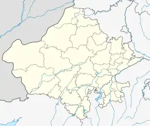  Udaipurwati Location in Rajasthan, India 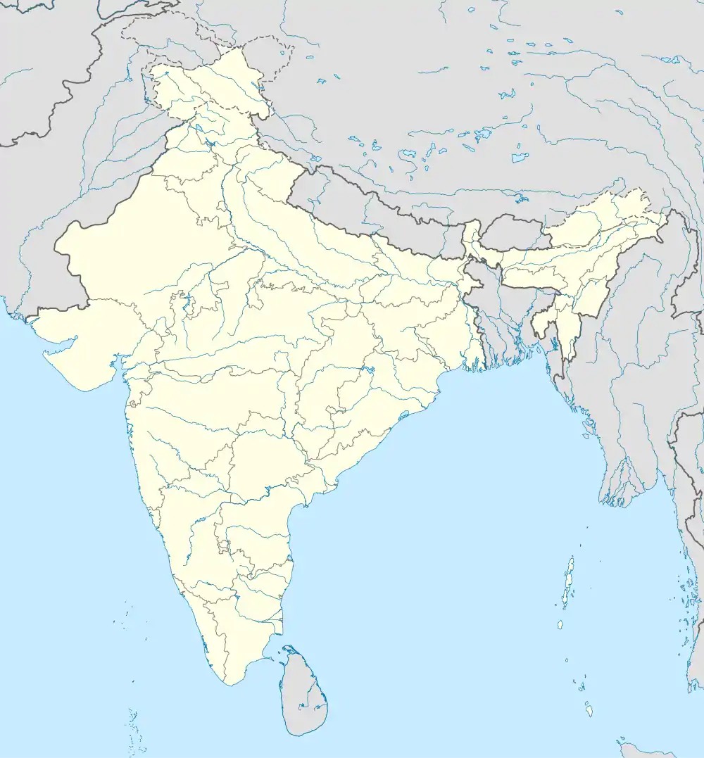 Udaipurwati Udaipurwati (India) | |
| Coordinates: 27.72885°N 75.47156°E | |
| Country |  India India |
| State | Rajasthan |
| District | Jhunjhunun |
| Population (2011)[1] | |
| • Total | 29,236 |
| Languages | |
| • Official | Hindi |
| Time zone | UTC+5:30 (IST) |
| PIN | 333 307 |
| Telephone code | 91-1594 |
| ISO 3166 code | RJ-IN |
| Vehicle registration | RJ-18 |
Demographics
As of the 2001 Indian census,[2] Udaipurwati had a population of 27,831. Males constitute 52% of the population and females 48%. Udaipurwati has an average literacy rate of 56%, lower than the national average of 59.5%: male literacy is 69%, and female literacy is 43%. In Udaipurwati, 19% of the population is under 6.
See also
References
- http://www.censusindia.gov.in/pca/SearchDetails.aspx?Id=79448
- "Census of India 2001: Data from the 2001 Census, including cities, villages and towns (Provisional)". Census Commission of India. Archived from the original on 16 June 2004. Retrieved 1 November 2008.