Valentine, Arizona
Valentine is an unincorporated community in Mohave County, Arizona, United States. Valentine is located on Arizona State Route 66 (former U.S. Route 66) 26 miles (42 km) northeast of Kingman. Valentine has a ZIP Code of 86437; in 2000, the population of the 86437 ZCTA was 36.[4] The majority of Valentine is located in a geographically isolated portion of the Hualapai Reservation.[5]
Valentine, Arizona | |
|---|---|
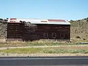
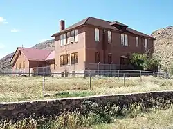 1903 Truxton Canon Training School listed in the NRHP | |
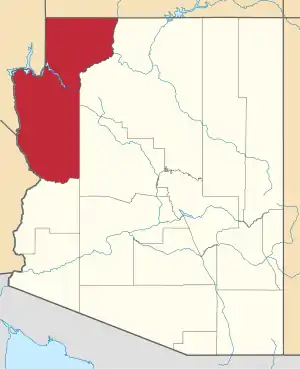
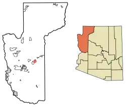 Location of Valentine in Mohave County, Arizona. | |
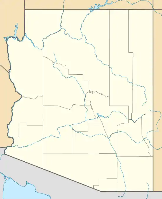  Valentine, Arizona Location of Valentine in Mohave County, Arizona.  Valentine, Arizona Valentine, Arizona (the United States) | |
| Coordinates: 35°23′15″N 113°39′28″W | |
| Country | United States |
| State | Arizona |
| County | Mohave |
| Area | |
| • Total | 1.59 sq mi (4.13 km2) |
| • Land | 1.59 sq mi (4.13 km2) |
| • Water | 0.00 sq mi (0.00 km2) |
| Elevation | 3,802 ft (1,159 m) |
| Population (2000) | |
| • Total | 2,380 |
| • Estimate (2016)[2] | N/A |
| Time zone | UTC-7 (Mountain (MST)) |
| ZIP code | 86437 |
| Area code(s) | 928 |
| GNIS feature ID | 13160[3] |
The Valentine Elementary School served the communities of Valentine, Crozier and Truxton. The school was closed in 1969, and classes were moved to Truxton.
The Bureau of Indian Affairs operated the Truxton Canyon Training School in Valentine from 1903 to 1937. The BIA continues to have an office in Valentine.
Historic structures
Historic individual structures in Valentine
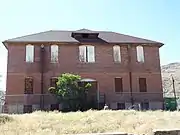 Truxton Canon Training School-1903
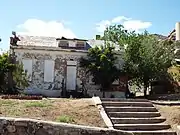
 Chief Motel-1900
 Front view of the BIA Building (Bureau of Indian Affairs) - 1940
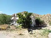 Different view of the BIA Building-1940.
See also
| Part of a series of the |
| Cities, towns and CDPs in Arizona with lists and images of historic properties, forts, cemeteries or historic districts |
|---|
 |
- Arizona portal
References
- "2016 U.S. Gazetteer Files". United States Census Bureau. Retrieved Jul 18, 2017.
- "Population and Housing Unit Estimates". Retrieved June 9, 2017.
- U.S. Geological Survey Geographic Names Information System: Valentine, Arizona
- "American FactFinder". Archived from the original on 2020-02-12. Retrieved 2010-07-13.
- https://www2.census.gov/geo/maps/dc10map/tribal_tract/r1545_hualapai/DC10TT_R1545_012.pdf
- "Census of Population and Housing". Census.gov. Retrieved June 4, 2016.
Authority control  |
|---|
This article is issued from Wikipedia. The text is licensed under Creative Commons - Attribution - Sharealike. Additional terms may apply for the media files.