Verkhnie Synovydne
Verkhnie Synovydne (Ukrainian: Ве́рхнє Синьови́дне, former name, to 1946 Синьовидсько Вижнє, Synovydsko Vyzhnie, Polish: Synowódzko Wyżne) is an urban-type settlements in Skole Raion, Lviv Oblast, of Western Ukraine. Verkhnie Synovydne granted the status of urban-type settlement in 1957. Population: 3,326 (2021 est.)[1]
Verkhnie Synovydne
Ве́рхнє Синьови́дне | |
|---|---|
  Verkhnie Synovydne 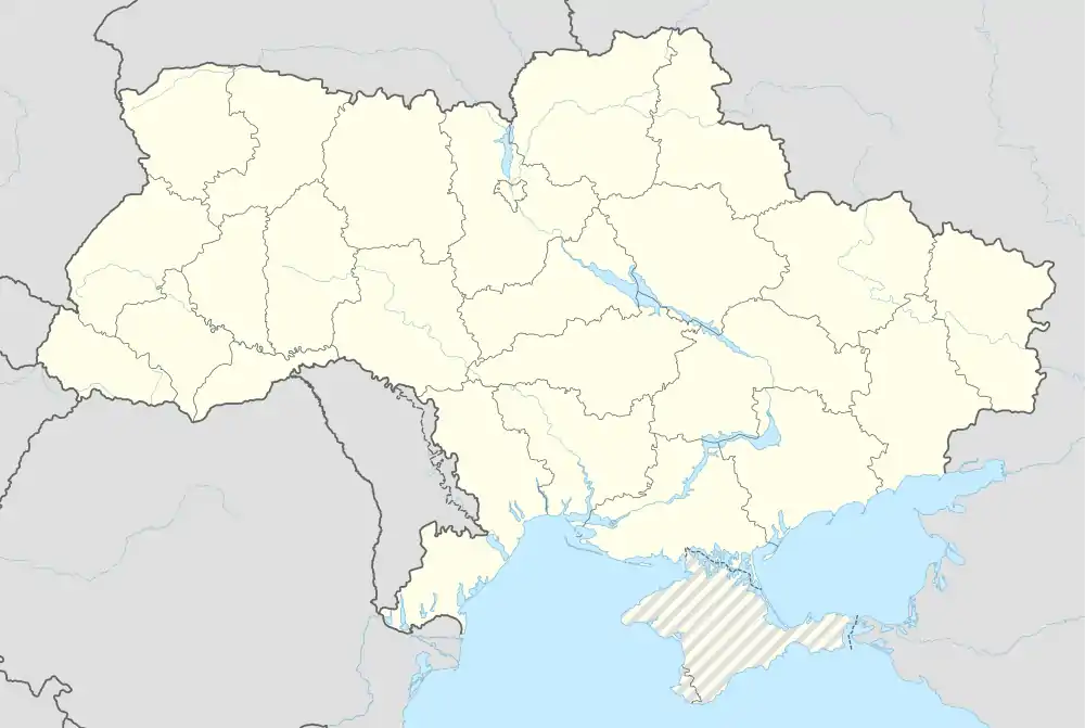 Verkhnie Synovydne | |
| Coordinates: 49°05′57″N 23°35′00″E | |
| Country |  Ukraine Ukraine |
| Oblast |  Lviv Lviv |
| Raion | Skole Raion |
| Established | 1561 |
| Area | |
| • Total | 36.2 km2 (14.0 sq mi) |
| Elevation /(average value of) | 380 m (1,250 ft) |
| Population (2021) | |
| • Total | 3,326 |
| • Density | 92/km2 (240/sq mi) |
| Time zone | UTC+2 (EET) |
| • Summer (DST) | UTC+3 (EEST) |
| Postal code | 82613 |
| Area code | +380 3251 |
| Website | смт Верхнє Синьовидне (Ukrainian) |
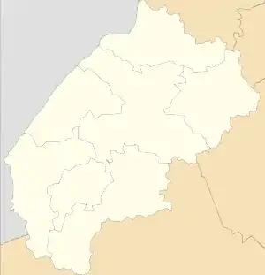
The settlement is located along the river Opir River. It is situated 100 kilometres (62 mi) from the regional center Lviv, 9 kilometres (5.6 mi) from the district center Skole[2] and is located along the Highway M06 (Ukraine). It is a Ukrainian international highway (M-highway) connecting Kyiv to the Hungarian border near Chop, where it connects to the Hungarian Highway M34.
Its total area is 3.62 km2, and the population is around 3,348 people.[3] Local government is administered by Verkhnosynovydnenska settlement council.[4]
The first written record of its mention dates from 1561. But archaeological studies indicate that in this location people lived in the days of Kievan Rus and Principality of Galicia–Volhynia. That are approximately the year 1240.[5]
References
- "Чисельність наявного населення України (Actual population of Ukraine)" (PDF) (in Ukrainian). State Statistics Service of Ukraine. Retrieved 11 July 2021.
- DELLA (in Ukrainian)
- С.м.т. Верхнє Синьовидне: карта вулиць (in Ukrainian)
- Верхньосиньовидненська селищна (сільська) рада (in Ukrainian)
- Верхнє Синьовидне // Незалежний культурологічний часопис «Галичина — країна міст». — 2005. — № 36. (in Ukrainian)
External links
- weather.in.ua
- Верхнє Синьовидне (in Ukrainian).
- Населенні пункти Сколівського району - Верхнє Синьовидне (in Ukrainian)
Literature
- Ukrainian: Історія міст і сіл УРСР : Львівська область. – К. : ГРУРЕ, 1968 р., сторінка 715
| Cities |  Coat of arms of Skole Raion | |
|---|---|---|
| Settlements | ||
| Villages |
| |


Authority control: National libraries  |
|---|