Vernár
Vernár is a village and large municipality in Poprad District in the Prešov Region of northern Slovakia.[1] It lies between Low Tatras and Slovenský raj mountain ranges.
Vernár | |
|---|---|
Municipality | |
 | |
 Coat of arms | |
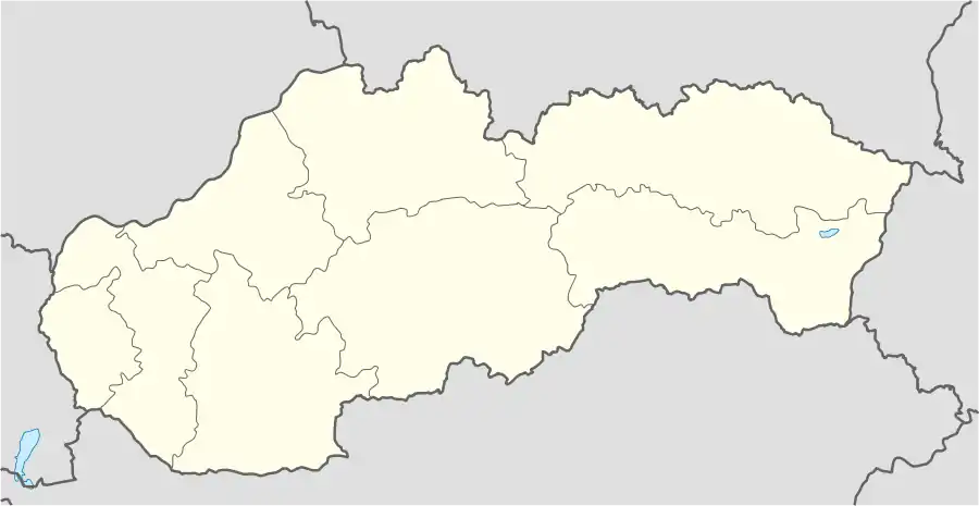  Vernár Location of Vernár in Slovakia | |
| Coordinates: 48°55′04″N 20°16′13″E | |
| Country | Slovakia |
| Region | Prešov |
| District | Poprad |
| Area | |
| • Total | 52.880281 km2 (20.417191 sq mi) |
| Elevation | 765 m (2,510 ft) |
| Population (31 December 2010) | |
| • Total | 599 |
| • Density | 11/km2 (29/sq mi) |
| Postal code | 059 17 |
| Area code(s) | +421-52 |
| Car plate | PP |
| Website | www.vernar.sk |
History
The village was mentioned in the historical records for the first time in 1295.
Geography
The municipality lies at an altitude of 765 metres and covers an area of 52.901 km². It has a population of about 600 people.
Economy and infrastructure
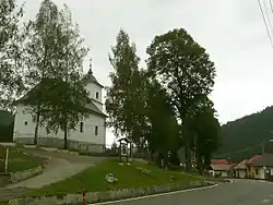
There is a football club, chess club and a ski-lift area in the village. Cultural sightseeings are a classical church from the 19th century and a preserved folk architecture.
References
- "Statistical Office of the Slovak Republic" (PDF). Výsledky SODB 2011. Štatistický úrad SR. Archived from the original (PDF) on October 12, 2013. Retrieved 9 August 2012.
External links
- http://vernar.e-obce.sk
- http://www.vernar.sk/ (www.vernar.sk)
Municipalities of Poprad District | ||
|---|---|---|
 | ||
Authority control: National libraries  |
|---|
This article is issued from Wikipedia. The text is licensed under Creative Commons - Attribution - Sharealike. Additional terms may apply for the media files.