Wenona, Georgia
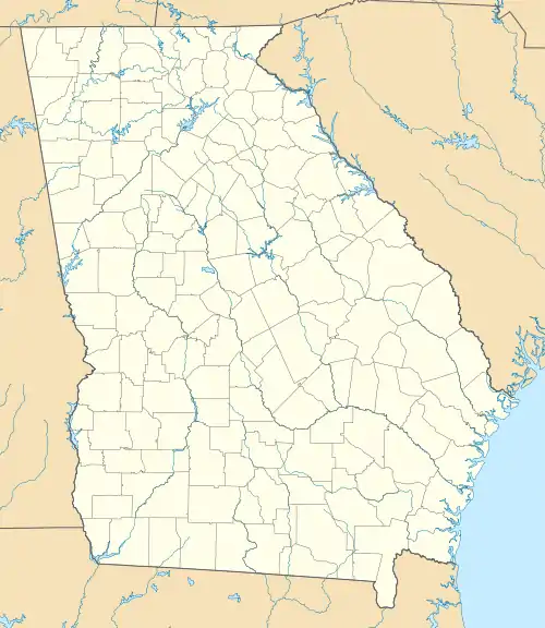
Wenona is an unincorporated community and census-designated place (CDP) in Crisp County, Georgia, United States. It is on U.S. Route 41 where it is joined by Georgia State Route 33, 4 miles (6 km) south of Cordele, the county seat, and 5 miles (8 km) north of Arabi. Interstate 75 forms the eastern border of the CDP, with access from Exit 97.
Wenona, Georgia | |
|---|---|
  Wenona  Wenona | |
| Coordinates: 31°54′16″N 83°45′49″W | |
| Country |  United States United States |
| State | Georgia |
| County | Crisp |
| Area | |
| • Total | 7.42 km2 (2.86 sq mi) |
| • Land | 7.34 km2 (2.83 sq mi) |
| • Water | 0.07 km2 (0.03 sq mi) |
| Elevation | 103 m (338 ft) |
| Time zone | UTC-5 (Eastern (EST)) |
| • Summer (DST) | UTC-4 (EDT) |
| ZIP Code | 31015 (Cordele) |
| Area code(s) | 229 |
| FIPS code | 13-81208 |
| GNIS feature ID | 2812675[2] |
Wenona was first listed as a CDP prior to the 2020 census.
References
- "2020 U.S. Gazetteer Files – Georgia". United States Census Bureau. Retrieved April 23, 2021.
- "Wenona Census Designated Place". Geographic Names Information System. United States Geological Survey.
Municipalities and communities of Crisp County, Georgia, United States | ||
|---|---|---|
| City | 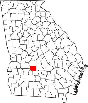 Map of Georgia highlighting Crisp County | |
| Town | ||
| CDP | ||
| Other unincorporated communities | ||
| ||
This article is issued from Wikipedia. The text is licensed under Creative Commons - Attribution - Sharealike. Additional terms may apply for the media files.