West Brow, Georgia
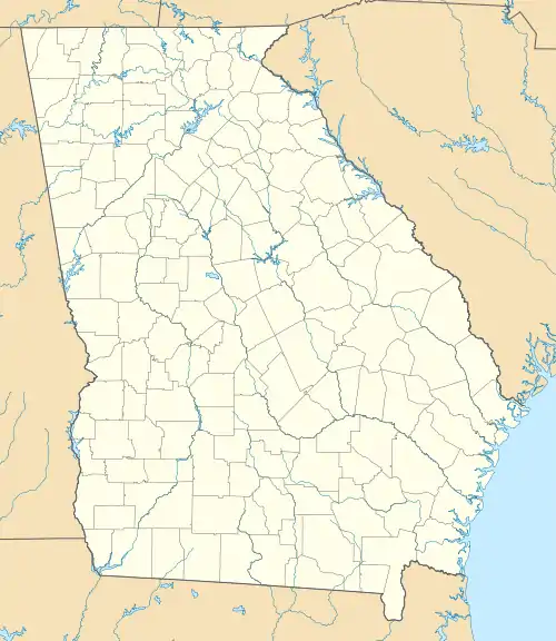
West Brow is an unincorporated community and census-designated place (CDP) on the eastern side of Dade County, Georgia, United States. It is on top of Lookout Mountain, along Georgia State Route 189, which leads northeast 5 miles (8 km) to the city of Lookout Mountain. Trenton, the Dade county seat, is 8 miles (13 km) to the southwest in the Lookout Valley.
West Brow, Georgia | |
|---|---|
  West Brow  West Brow | |
| Coordinates: 34°55′19″N 85°25′3″W | |
| Country |  United States United States |
| State | Georgia |
| County | Dade |
| Area | |
| • Total | 6.77 km2 (2.61 sq mi) |
| • Land | 6.77 km2 (2.61 sq mi) |
| • Water | 0.0 km2 (0.0 sq mi) |
| Elevation | 562 m (1,844 ft) |
| Time zone | UTC-5 (Eastern (EST)) |
| • Summer (DST) | UTC-4 (EDT) |
| ZIP Code | 30750 (Lookout Mountain) |
| Area code(s) | 706/762 |
| FIPS code | 13-81488 |
| GNIS feature ID | 2812676[2] |
West Brow was first listed as a CDP prior to the 2020 census.
References
- "2020 U.S. Gazetteer Files – Georgia". United States Census Bureau. Retrieved April 23, 2021.
- "West Brow Census Designated Place". Geographic Names Information System. United States Geological Survey.
Municipalities and communities of Dade County, Georgia, United States | ||
|---|---|---|
| City | 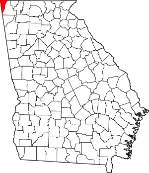 Map of Georgia highlighting Dade County | |
| CDPs | ||
| Other unincorporated communities | ||
| Ghost towns | ||
| ||
This article is issued from Wikipedia. The text is licensed under Creative Commons - Attribution - Sharealike. Additional terms may apply for the media files.