Yaremche urban hromada
Yaremche urban territorial hromada (Ukrainian: Яремчанська міська територіа́льна грома́да, romanized: Yaremchanska miska terytorialna hromada) is a hromada (territorial community) in Ukraine, in Nadvirna Raion of Ivano-Frankivsk Oblast. The administrative center is the city of Yaremche.[1]
Yaremche urban hromada
Яремчанська міська громада | |
|---|---|
Hromada | |
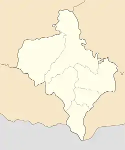  Yaremche urban hromada 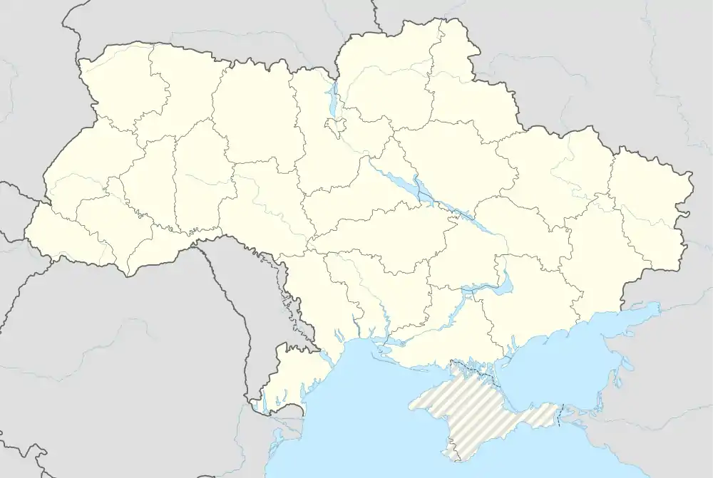 Yaremche urban hromada | |
| Coordinates: 48°27′37″N 24°33′31″E | |
| Country |  Ukraine Ukraine |
| Oblast (province) |  Ivano-Frankivsk Oblast Ivano-Frankivsk Oblast |
| Raion (district) | Nadvirna Raion |
| Government | |
| • Mayor | Andrii Myroniak |
| Area | |
| • Total | 270.8 km2 (104.6 sq mi) |
| Population (2021) | |
| • Total | 13,674 |
| Time zone | UTC+02:00 (EET) |
| • Summer (DST) | UTC+03:00 (EEST) |
| Area code | +380-3434 |
The area of the hromada is 270.8 square kilometres (104.6 sq mi), and the population is 13,674 inhabitants (2021).[2]
Settlements
The community consists of 1 city: Yaremche and 1 village: Mykulychyn.[2]
History
| Year | Pop. | ±% |
|---|---|---|
| 2007 | 21,765 | — |
| 2008 | 21,844 | +0.4% |
| 2009 | 21,975 | +0.6% |
| 2010 | 22,187 | +1.0% |
| 2013 | 22,604 | +1.9% |
| 2016 | 23,127 | +2.3% |
| Note: 2010 data is valid thru October Source: Regional Statistics Office | ||
The municipality was created on December 30, 1977 out of the Nadvirna Raion. In 2006 the official name of it changed from Yaremcha to Yaremche. On December 14, 2006 the spelling of Yaremche officially has changed from Yaremcha. Most of the municipality is located within the Nadvirna Raion consisting of three non-adjacent territories (split by high mountains), one of which is bordering also Zakarpattia Oblast.
Administratively, until 2020, Yaremche was designated the city of oblast significance. On 18 July 2020, as part of the administrative reform of Ukraine, the number of raions of Ivano-Frankivsk Oblast was reduced to six, and Yaremche Municipality became part of Nadvirna Raion.[3][4] The last estimate of the municipality population was 622,012 (2020 est.)[5].
Geography
The Yaremche municipality is located on the northeastern slopes of the Carpathian Mountains. It possesses numerous ski resorts such as Bukovel, there are also several of them near Vorokhta as well.
The main body of water is Prut river.
Infrastructure
Transportation
There is a railroad communication. The main railway terminal is located in Yaremche, however there is a rail station in Vorokhta as well. Through the municipality also run several automobile roads such as the national route H09 and the regional - P24 that starting at Tatariv and making some loop eventually heads to Ternopil Oblast. The closest airport is located in Ivano-Frankivsk.
References
- "Яремчанська громада" (in Ukrainian). official website of Yaremche hromada.
- "Яремчанська територіальна громада". decentralization.gov.ua (in Ukrainian). Retrieved 2021-11-26.
- "Про утворення та ліквідацію районів. Постанова Верховної Ради України № 807-ІХ". Голос України (in Ukrainian). 2020-07-18. Retrieved 2020-10-03.
- "Нові райони: карти + склад" (in Ukrainian). Міністерство розвитку громад та територій України.
- "Чисельність наявного населення України (Actual population of Ukraine)" (PDF) (in Ukrainian). State Statistics Service of Ukraine. Retrieved 30 September 2020.
External links
| Cities |  Coat of arms of Yaremche Municipality | |
|---|---|---|
| Settlements | ||

| Raions |  | |
|---|---|---|
| Hromadas |
| |
| Cities | ||
| Urban-type settlements | ||